Paraparaumu Beach Area, Paraparaumu Beach Postcode(5252) & Map in Paraparaumu Beach
Paraparaumu Beach Area, Paraparaumu Beach Postcode(5252) & Map in Paraparaumu Beach, Kapiti Coast District, New Zealand
Paraparaumu Beach, Kapiti Coast District, New Zealand
Paraparaumu Beach Area (estimated)
5.8 square kilometersParaparaumu Beach Population (estimated)
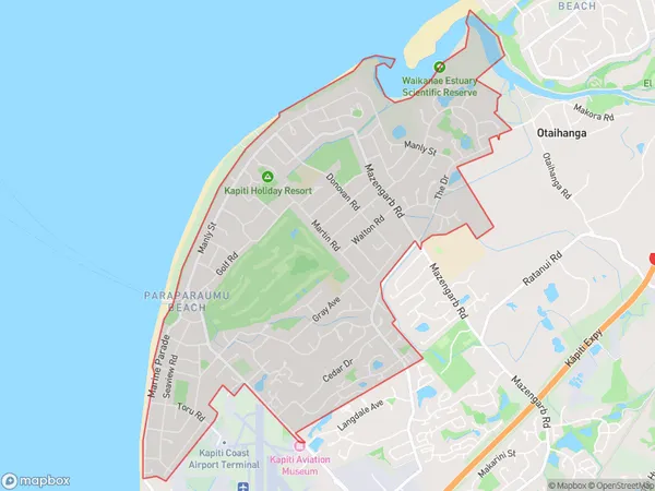
9753 people live in Paraparaumu Beach, Wellington, NZParaparaumu Beach Suburb Area Map (Polygon)
Paraparaumu Beach Introduction
Paraparaumu Beach is a popular spot for swimming, surfing, and beach volleyball in Wellington, New Zealand. It is known for its wide sandy beach and crystal-clear waters, and is a popular destination for families and outdoor enthusiasts. The beach has a lifeguard station, showers, and changing rooms, and there are several cafes and restaurants nearby. Paraparaumu Beach is also home to the Paraparaumu Airfield, which is used for general aviation and is the second-busiest airport in New Zealand.Region
Major City
Suburb Name
Paraparaumu BeachOther Name(s)
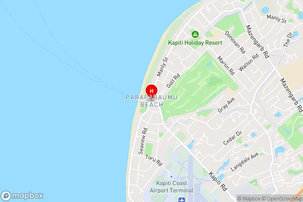
Kapiti, Maungakotukutuku, RaumatiParaparaumu Beach Area Map (Street)
Local Authority
Kapiti Coast DistrictFull Address
Paraparaumu Beach, Kapiti Coast District, New ZealandAddress Type
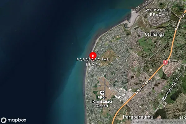
Suburb in Town ParaparaumuParaparaumu Beach Suburb Map (Satellite)
Country
Main Region in AU
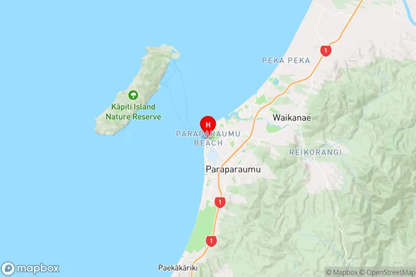
WellingtonParaparaumu Beach Region Map
Coordinates
-40.8914771,174.9812867 (latitude/longitude)Distances
The distance from Paraparaumu Beach, Paraparaumu, Kapiti Coast District to NZ Top 10 Cities