Horowhenua Suburbs & Region, Horowhenua Map & Postcodes in Horowhenua, Manawatu / Whanganui
Horowhenua Postcodes, Horowhenua ZipCodes, Horowhenua , Horowhenua Manawatu-Wanganui, Horowhenua Suburbs, Horowhenua Region, Horowhenua Map, Horowhenua Area
Horowhenua Region
Horowhenua Suburbs
Horowhenua is a district place type in Manawatu / Whanganui, NZ. It contains 12 suburbs or localities.Horowhenua district
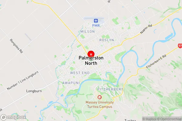
HorowhenuaHorowhenua Region Map
Horowhenua Introduction
Horowhenua, Manawatu-Wanganui, New Zealand, is a region with a rich history and diverse culture. It is known for its stunning landscapes, including the Taranaki Mountains and the Horowhenua Ranges. The region has a strong agricultural economy, with a focus on sheep farming and forestry. It is also home to a number of important historical sites, including the Rangitukunoa Pa, a former Maori fortress. The region has a population of around 50,000 people and is located about 150 kilometers west of Wellington.Horowhenua Region
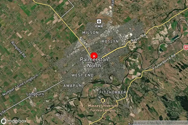
Horowhenua Satellite Map
Full Address
Horowhenua, Manawatu / WhanganuiHorowhenua Coordinates
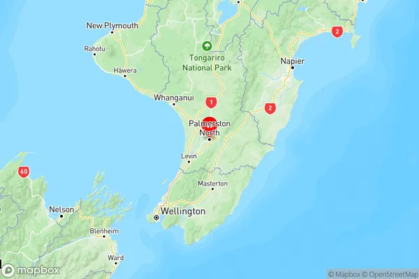
-40.356317,175.6112388 (Latitude / Longitude)Horowhenua Map in NZ
NZ Island
North IslandCountry
Horowhenua Suburbs (Sort by Population)
Horowhenua Suburbs (Sort in alphabetical)
Foxton
Foxton Beach
Hokio Beach
Levin
Manakau
Moutoa
Ohau
Shannon
Tokomaru
Waikawa Beach
Waitarere
Waitarere Beach