Moutoa Suburbs & Region, Moutoa Map & Postcodes in Moutoa, Horowhenua, Manawatu / Whanganui
Moutoa Postcodes, Moutoa ZipCodes, Moutoa , Moutoa Manawatu-Wanganui, Moutoa Suburbs, Moutoa Region, Moutoa Map, Moutoa Area
Moutoa Region
Moutoa Suburbs
Moutoa is a suburb place type in Horowhenua, Manawatu / Whanganui, NZ. It contains 0 suburbs or localities.Moutoa district
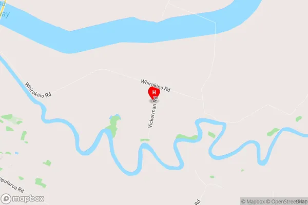
HorowhenuaMoutoa Region Map
Moutoa Introduction
Moutoa is a small rural community located in the Manawatu-Wanganui region of New Zealand. It is situated on the banks of the Wanganui River, approximately 10 kilometers south of Palmerston North. The community has a population of around 100 people and is known for its scenic surroundings and peaceful atmosphere. Moutoa is a popular destination for outdoor enthusiasts, with nearby hiking and cycling trails, and a range of recreational activities available in the Wanganui River. The community also has a small primary school and a community hall, which hosts regular events and gatherings.Moutoa Region
Moutoa City
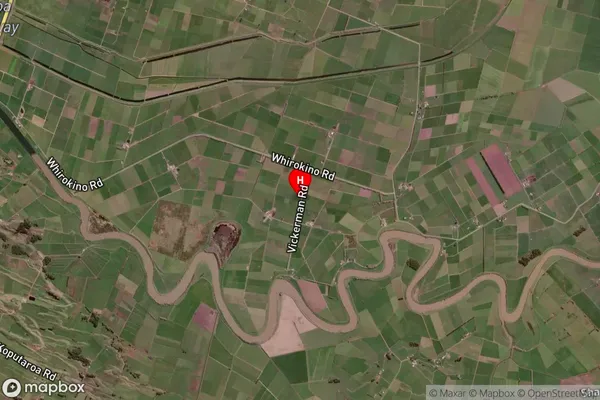
Moutoa Satellite Map
Full Address
Moutoa, Horowhenua, Manawatu / WhanganuiMoutoa Coordinates
-40.527994,175.332652 (Latitude / Longitude)Moutoa Map in NZ
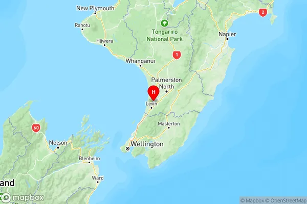
NZ Island
North IslandCountry
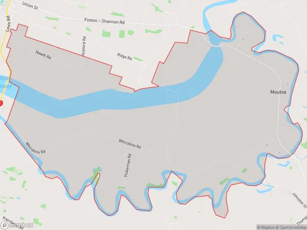
Moutoa Area Map (Polygon)
Name
MoutoaAdditional Name
Local Authority
Horowhenua District
Moutoa Suburbs (Sort by Population)
Moutoa suburb has around
57.9 square
kilometers.There are more than 159 people (estimated)
live in Moutoa, Foxton, Manawatu-Wanganui, New Zealand.