Moutoa Area, Moutoa Postcode(4821) & Map in Moutoa
Moutoa Area, Moutoa Postcode(4821) & Map in Moutoa, Horowhenua District, New Zealand
Moutoa, Horowhenua District, New Zealand
Moutoa Postcodes
Moutoa Area (estimated)
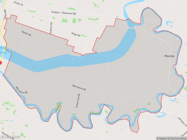
57.9 square kilometersMoutoa Population (estimated)
159 people live in Moutoa, Manawatu-Wanganui, NZMoutoa Suburb Area Map (Polygon)
Moutoa Introduction
Moutoa is a small rural community located in the Manawatu-Wanganui region of New Zealand. It is known for its beautiful natural surroundings, including the Moutoa Gardens, a popular tourist attraction. The community has a strong sense of community and hosts regular events such as the Moutoa Festival.Region
Major City
Suburb Name
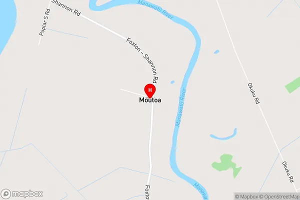
MoutoaMoutoa Area Map (Street)
Local Authority
Horowhenua DistrictFull Address
Moutoa, Horowhenua District, New ZealandAddress Type
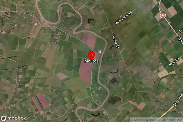
Locality in Town FoxtonMoutoa Suburb Map (Satellite)
Country
Main Region in AU
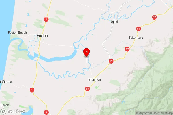
Manawatu-WanganuiMoutoa Region Map
Coordinates
-40.5071857,175.3949789 (latitude/longitude)Distances
The distance from Moutoa, Foxton, Horowhenua District to NZ Top 10 Cities