Tokomaru Suburbs & Region, Tokomaru Map & Postcodes in Tokomaru, Horowhenua, Manawatu / Whanganui
Tokomaru Postcodes, Tokomaru ZipCodes, Tokomaru , Tokomaru Manawatu-Wanganui, Tokomaru Suburbs, Tokomaru Region, Tokomaru Map, Tokomaru Area
Tokomaru Region
Tokomaru Suburbs
Tokomaru is a suburb place type in Horowhenua, Manawatu / Whanganui, NZ. It contains 0 suburbs or localities.Tokomaru district
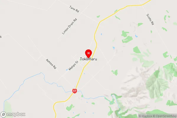
HorowhenuaTokomaru Region Map
Tokomaru Introduction
Tokomaru is a small town located in the Manawatu-Wanganui region of New Zealand. It is situated on the banks of the Ruahine River, approximately 100 kilometers north of Palmerston North. The town has a population of around 3,000 people and is known for its agricultural industry, with a large number of farms and orchards in the surrounding area. Tokomaru also has a historic railway station, which was used for passenger and freight services until the 1980s. The town is surrounded by beautiful countryside and is popular with outdoor enthusiasts, with many walking and cycling trails nearby.Tokomaru Region
Tokomaru City
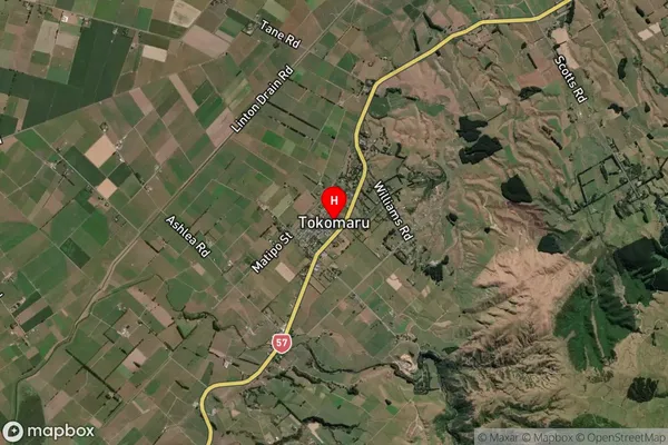
Tokomaru Satellite Map
Full Address
Tokomaru, Horowhenua, Manawatu / WhanganuiTokomaru Coordinates
-40.470911,175.512648 (Latitude / Longitude)Tokomaru Map in NZ
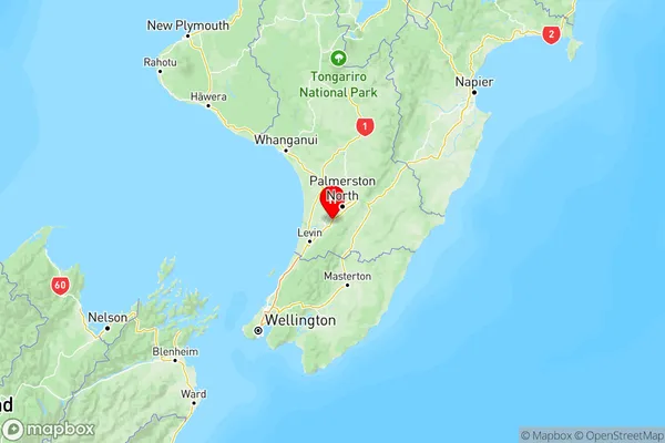
NZ Island
North IslandCountry
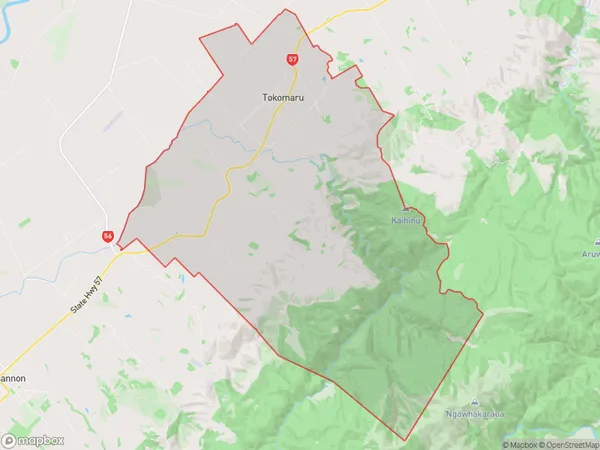
Tokomaru Area Map (Polygon)
Name
TokomaruAdditional Name
Local Authority
Horowhenua District
Tokomaru Suburbs (Sort by Population)
Tokomaru suburb has around
85.3 square
kilometers.There are more than 1043 people (estimated)
live in Tokomaru, Palmerston North, Manawatu-Wanganui, New Zealand.