Levin Suburbs & Region, Levin Map & Postcodes in Levin, Horowhenua, Manawatu / Whanganui
Levin Postcodes, Levin ZipCodes, Levin , Levin Manawatu-Wanganui, Levin Suburbs, Levin Region, Levin Map, Levin Area
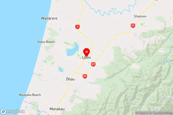
Levin Region (Gladstone, Heatherlea, Hokio, Makahika, Weraroa Region)
Levin Suburbs
Levin is a city place type in Horowhenua, Manawatu / Whanganui, NZ. It contains 6 suburbs or localities.Levin district
HorowhenuaLevin Region Map
Levin Introduction
Levin is a city in the Manawatu-Wanganui region of New Zealand. It is situated on the banks of the Manawatu River and is known for its agricultural industry, including the production of wheat, sheep, and cattle. The city has a population of around 50,000 people and is home to a number of historic buildings and landmarks, including the Levin Courthouse and the Levin Central Library. Levin is also a popular destination for outdoor enthusiasts, with a number of parks and reserves nearby, including the Te Apiti Nature Reserve and the Levin Forest Park.Levin Region
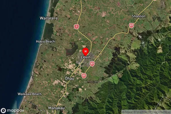
Levin Satellite Map
Full Address
Levin, Horowhenua, Manawatu / WhanganuiLevin Coordinates
-40.621816,175.286585 (Latitude / Longitude)Levin Map in NZ
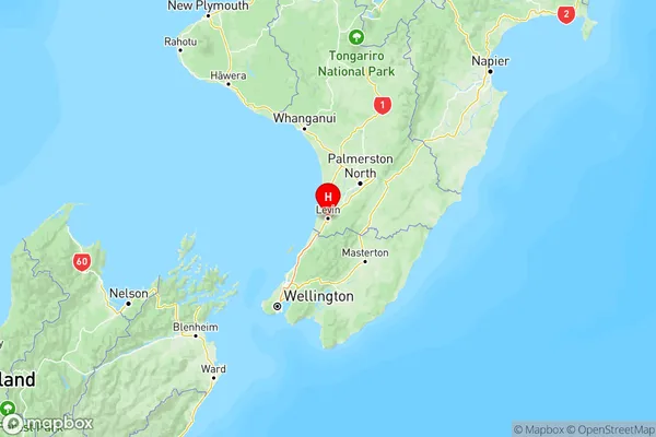
NZ Island
North IslandCountry
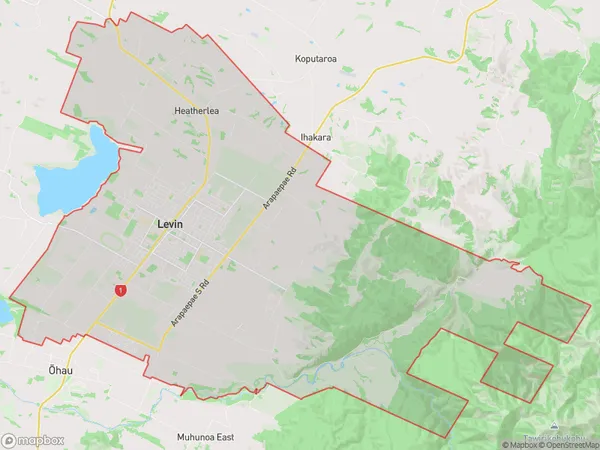
Levin Area Map (Polygon)
Name
LevinAdditional Name
Gladstone, Heatherlea, Hokio, Makahika, WeraroaLocal Authority
Horowhenua District
Levin Suburbs (Sort by Population)
Levin
Levin - 21830Waitarere Beach
Waitarere Beach - 786Hokio Beach
Hokio Beach - 506Waitarere
Waitarere - 261Muhunoa East
Muhunoa East - 115Poroutawhao
Poroutawhao - 105
Levin Suburbs (Sort in alphabetical)
Koputaroa