Muhunoa East Area, Muhunoa East Postcode & Map in Muhunoa East
Muhunoa East Area, Muhunoa East Postcode & Map in Muhunoa East, Horowhenua District, New Zealand
Muhunoa East, Horowhenua District, New Zealand
Muhunoa East Area (estimated)
44.1 square kilometersMuhunoa East Population (estimated)
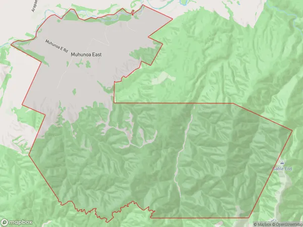
115 people live in Muhunoa East, Manawatu-Wanganui, NZMuhunoa East Suburb Area Map (Polygon)
Muhunoa East Introduction
Muhunoa East is a small rural community located in the Manawatu-Wanganui region of New Zealand. It is situated on the banks of the Ruahine River, approximately 10 kilometers east of Levin. The area is known for its scenic countryside, with rolling hills and lush green fields. The community has a population of around 100 people and is home to a primary school, a church, and a few small businesses. Muhunoa East is a peaceful and quiet place to live, with a strong sense of community and a close-knit atmosphere.Region
Major City
Suburb Name
Muhunoa EastOther Name(s)
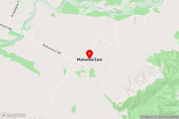
TirohangaMuhunoa East Area Map (Street)
Local Authority
Horowhenua DistrictFull Address
Muhunoa East, Horowhenua District, New ZealandAddress Type
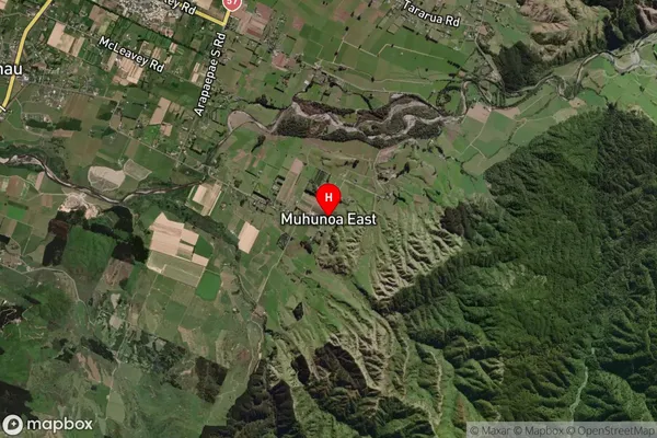
Locality in Town LevinMuhunoa East Suburb Map (Satellite)
Country
Main Region in AU
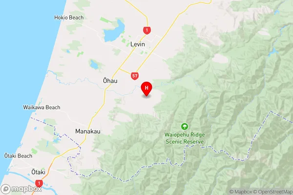
Manawatu-WanganuiMuhunoa East Region Map
Coordinates
-40.6788634,175.2990746 (latitude/longitude)Distances
The distance from Muhunoa East, Levin, Horowhenua District to NZ Top 10 Cities