Waitarere Beach Area, Waitarere Beach Postcode(5510) & Map in Waitarere Beach
Waitarere Beach Area, Waitarere Beach Postcode(5510) & Map in Waitarere Beach, Horowhenua District, New Zealand
Waitarere Beach, Horowhenua District, New Zealand
Waitarere Beach Postcodes
Waitarere Beach Area (estimated)
2.2 square kilometersWaitarere Beach Population (estimated)
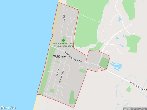
786 people live in Waitarere Beach, Manawatu-Wanganui, NZWaitarere Beach Suburb Area Map (Polygon)
Waitarere Beach Introduction
Waitarere Beach is a popular beach in Levin, Manawatu-Wanganui, New Zealand. It is known for its long stretch of golden sand, clear waters, and stunning coastal views. The beach is a popular spot for swimming, sunbathing, and beach volleyball, and it is surrounded by native bush and picturesque farmland. There are also several walking and cycling trails nearby, making it a great place for a day trip or weekend getaway.Region
Major City
Suburb Name
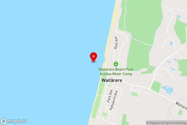
Waitarere Beach (Maori Name: Waitārere Beach)Waitarere Beach Area Map (Street)
Local Authority
Horowhenua DistrictFull Address
Waitarere Beach, Horowhenua District, New ZealandAddress Type
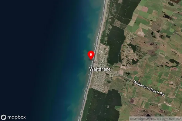
Suburb in Town LevinWaitarere Beach Suburb Map (Satellite)
Country
Main Region in AU
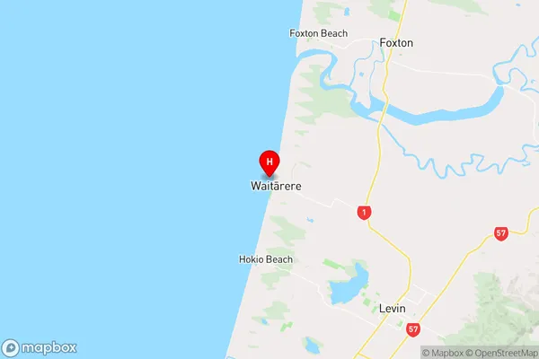
Manawatu-WanganuiWaitarere Beach Region Map
Coordinates
-40.5469741,175.1927882 (latitude/longitude)Distances
The distance from Waitarere Beach, Levin, Horowhenua District to NZ Top 10 Cities