Waitarere Area, Waitarere Postcode(5510) & Map in Waitarere
Waitarere Area, Waitarere Postcode(5510) & Map in Waitarere, Horowhenua District, New Zealand
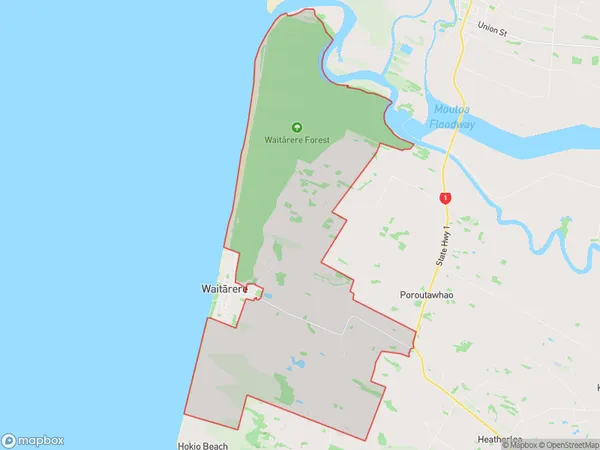
Waitarere, Horowhenua District, New Zealand
Waitarere Area (estimated)
56.4 square kilometersWaitarere Population (estimated)
261 people live in Waitarere, Manawatu-Wanganui, NZWaitarere Suburb Area Map (Polygon)
Waitarere Introduction
Waitarere is a small rural community located in the Manawatu-Wanganui region of New Zealand. It is known for its stunning natural scenery, including the Waitarere Falls and the surrounding forests. The community has a strong sense of community and hosts a variety of events throughout the year, including a popular music festival.Region
Major City
Suburb Name
Waitarere (Maori Name: Waitārere)Other Name(s)
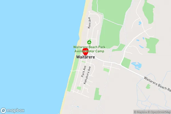
Heatherlea, HokioWaitarere Area Map (Street)
Local Authority
Horowhenua DistrictFull Address
Waitarere, Horowhenua District, New ZealandAddress Type
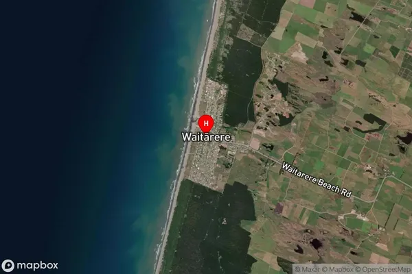
Suburb in Town LevinWaitarere Suburb Map (Satellite)
Country
Main Region in AU
Manawatu-WanganuiWaitarere Region Map

Coordinates
-40.5506895,175.1978162 (latitude/longitude)Distances
The distance from Waitarere, Levin, Horowhenua District to NZ Top 10 Cities