Poroutawhao Area, Poroutawhao Postcode & Map in Poroutawhao
Poroutawhao Area, Poroutawhao Postcode & Map in Poroutawhao, Horowhenua District, New Zealand
Poroutawhao, Horowhenua District, New Zealand
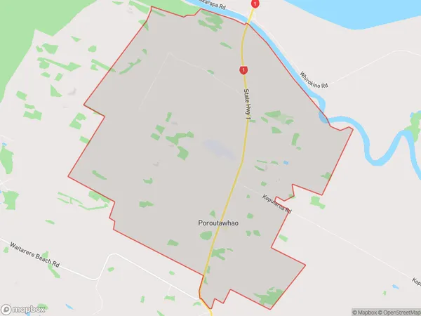
Poroutawhao Area (estimated)
27.3 square kilometersPoroutawhao Population (estimated)
105 people live in Poroutawhao, Manawatu-Wanganui, NZPoroutawhao Suburb Area Map (Polygon)
Poroutawhao Introduction
Poroutawhao is a small rural community in the Manawatu-Wanganui region of New Zealand. It is located on State Highway 3, approximately 10 km south of Levin and 50 km north of Palmerston North. The community has a population of around 100 people and is known for its scenic rural setting and peaceful atmosphere. The area is popular with outdoor enthusiasts and has a number of walking and cycling trails.Region
Major City
Suburb Name
PoroutawhaoPoroutawhao Area Map (Street)
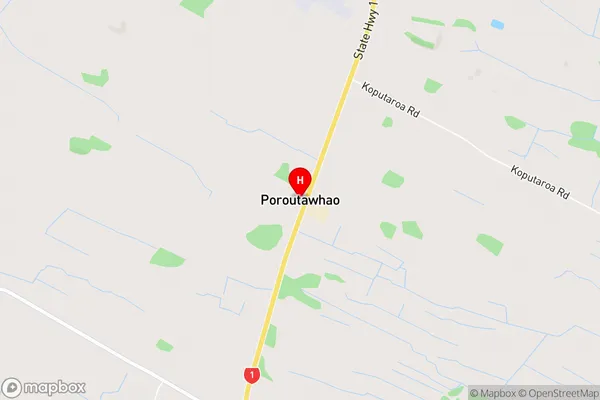
Local Authority
Horowhenua DistrictFull Address
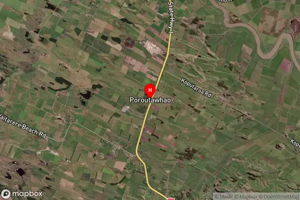
Poroutawhao, Horowhenua District, New ZealandAddress Type
Suburb in Town LevinPoroutawhao Suburb Map (Satellite)
Country
Main Region in AU
Manawatu-WanganuiPoroutawhao Region Map
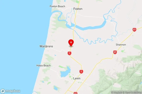
Coordinates
-40.5523203,175.2697774 (latitude/longitude)Distances
The distance from Poroutawhao, Levin, Horowhenua District to NZ Top 10 Cities