Waitarere Suburbs & Region, Waitarere Map & Postcodes in Waitarere, Horowhenua, Manawatu / Whanganui
Waitarere Postcodes, Waitarere ZipCodes, Waitarere , Waitarere Manawatu-Wanganui, Waitarere Suburbs, Waitarere Region, Waitarere Map, Waitarere Area
Waitarere Region (Heatherlea, Hokio Region)
Waitarere Suburbs
Waitarere is a suburb place type in Horowhenua, Manawatu / Whanganui, NZ. It contains 0 suburbs or localities.Waitarere district
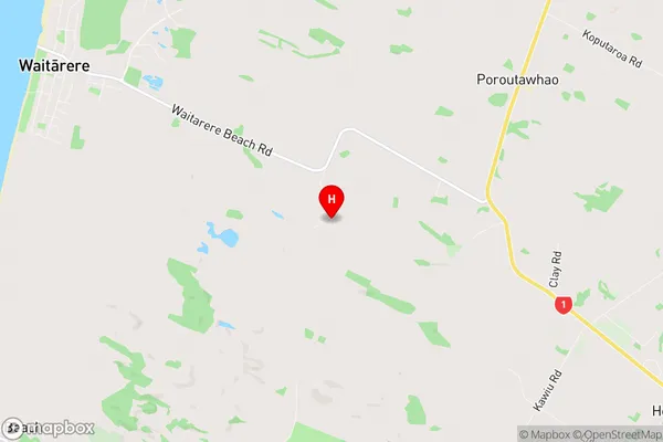
HorowhenuaWaitarere Region Map
Waitarere Introduction
Waitarere, Manawatu-Wanganui, New Zealand, is a small rural town located on the banks of the Waitarere River. It is known for its stunning natural scenery, including the Waitarere Falls and the surrounding forest. The town has a population of around 1,000 people and is a popular destination for outdoor enthusiasts, with many hiking and biking trails nearby. The town also has a historic stone church and a community hall, which are used for a variety of events and activities.Waitarere Region
Waitarere City
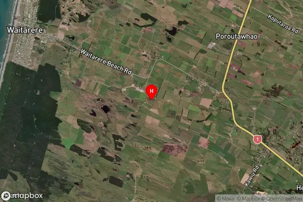
Waitarere Satellite Map
Full Address
Waitarere, Horowhenua, Manawatu / WhanganuiWaitarere Coordinates
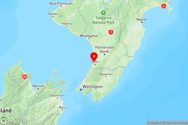
-40.569021,175.240894 (Latitude / Longitude)Waitarere Map in NZ
NZ Island
North IslandCountry
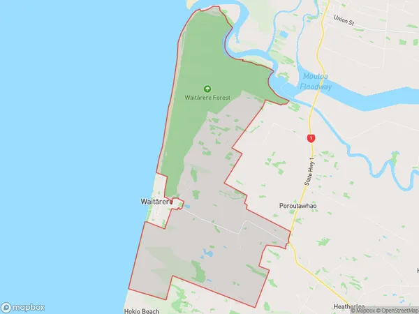
Waitarere Area Map (Polygon)
Name
WaitarereAdditional Name
Heatherlea, HokioLocal Authority
Horowhenua District
Waitarere Suburbs (Sort by Population)
Waitarere also known as Heatherlea, Hokio. Waitarere suburb has around
56.4 square
kilometers.There are more than 261 people (estimated)
live in Waitarere, Levin, Manawatu-Wanganui, New Zealand.