Tanami Suburbs & Region, Tanami Map & Postcodes
Tanami Suburbs & Region, Tanami Map & Postcodes in Tanami, Barkly, Northern Territory Outback, NT, AU
Tanami Region
Region Name
Tanami (NT, AU)Tanami Area
192662 square kilometers (192,662 ㎢)Postal Codes
0872 (In total, there are 1 postcodes in Tanami.)Tanami Introduction
The Tanami Desert is located in the Northern Territory of Australia and is one of the largest deserts in the world. It is known for its red dunes, which can reach heights of up to 100 meters. The desert is home to a variety of wildlife, including kangaroos, wallabies, and emus. The Tanami Track is a popular hiking trail that runs through the desert and offers stunning views of the landscape. The Tanami Desert is also home to several indigenous communities, who have lived in the region for thousands of years. The desert is a popular destination for tourists who want to experience the unique beauty and culture of the Australian Outback.Australia State
City or Big Region
Greater Capital City
Rest of NT (7RNTE)District or Regional Area
Suburb Name
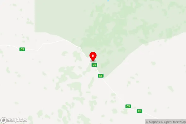
Tanami Region Map

Tanami Postcodes / Zip Codes
Tanami Suburbs
Tanami full address
Tanami, Barkly, Northern Territory Outback, Northern Territory, NT, Australia, SaCode: 702011053Country
Tanami, Barkly, Northern Territory Outback, Northern Territory, NT, Australia, SaCode: 702011053
Tanami Suburbs & Region, Tanami Map & Postcodes has 0 areas or regions above, and there are 19 Tanami suburbs below. The sa2code for the Tanami region is 702011053. Its latitude and longitude coordinates are -19.9564,129.697. Tanami area belongs to Australia's greater capital city Rest of NT.
Tanami Suburbs & Localities
1. Kintore
2. Kunparrka
3. Mount Liebig
4. Mount Zeil
5. Wallace Rockhole
6. Anangu Pitjantjatjara Yankunytjatjara
7. Hermannsburg
8. Namatjira
9. Pitjantjatjara Homelands
10. Tanami
11. Umpangara
12. Wanarn
13. Antewenegerrde
14. Areyonga
15. Haasts Bluff
16. Mereenie
17. Thangkenharenge
18. Nyirripi
19. Papunya
