Tanami Area, Tanami Postcode(0872) & Map in Tanami, Northern Territory - Outback, NT
Tanami Area, Tanami Postcode(0872) & Map in Tanami, Northern Territory - Outback, NT, AU, Postcode: 0872
Tanami, Tanami, Alice Springs, Northern Territory - Outback, Northern Territory, Australia, 0872
Tanami Postcode
Area Name
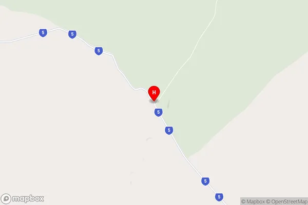
TanamiTanami Suburb Area Map (Polygon)

Tanami Introduction
Tanami is a remote town in the Northern Territory of Australia, known for its vast desert landscapes and rich Indigenous culture. It is located on the Tanami Road, which connects Alice Springs to the Northern Territory's western coast. The town has a population of around 100 people and is a popular destination for tourists seeking to experience the Outback.State Name
City or Big Region
District or Regional Area
Suburb Name
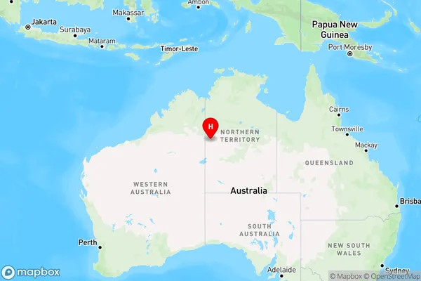
Tanami Region Map
Country
Main Region in AU
R1Coordinates
-19.9564,129.697 (latitude/longitude)Tanami Area Map (Street)
Longitude
131.298809Latitude
-21.949513Tanami Elevation
about 311.38 meters height above sea level (Altitude)Tanami Suburb Map (Satellite)

Distances
The distance from Tanami, Northern Territory - Outback, NT to AU Greater Capital CitiesSA1 Code 2011
70201105301SA1 Code 2016
70201105301SA2 Code
702011053SA3 Code
70201SA4 Code
702RA 2011
5RA 2016
5MMM 2015
7MMM 2019
7Charge Zone
NT1LGA Region
Central DesertLGA Code
70620Electorate
Lingiari