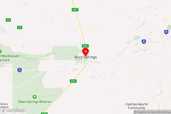
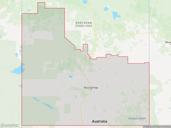
Alice Springs Suburbs & Region, Alice Springs Map & Postcodes
Alice Springs Suburbs & Region, Alice Springs Map & Postcodes in Alice Springs, Northern Territory Outback, NT, AU
Alice Springs Region
Region Name
Alice Springs (NT, AU)Alice Springs Area
569600 square kilometers (569,600 ㎢)Postal Codes
0870 (In total, there are 1 postcodes in Alice Springs.)Alice Springs Introduction
Alice Springs is a town in the Northern Territory of Australia. It is located approximately 285 miles (459 km) northeast of the nearest large city, Darwin. The town is known for its hot springs, which are a popular tourist attraction. The town also has a number of museums and art galleries, as well as a variety of shops and restaurants. The population of Alice Springs is approximately 25,000 people.Australia State
City or Big Region
District or Regional Area
Alice Springs Region Map

Alice Springs Postcodes / Zip Codes
Alice Springs Suburbs
Alice Springs full address
Alice Springs, Northern Territory Outback, Northern Territory, NT, Australia, SaCode: 70201Country
Alice Springs, Northern Territory Outback, Northern Territory, NT, Australia, SaCode: 70201
Alice Springs Suburbs & Region, Alice Springs Map & Postcodes has 4 areas or regions above, and there are 11 Alice Springs suburbs below. The sa3code for the Alice Springs region is 70201. Its latitude and longitude coordinates are -23.698,133.881.
Alice Springs Suburbs & Localities
1. Braitling
2. East Side
3. The Gap
4. Alice Springs
5. Ciccone
6. Sadadeen
7. White Gums
8. Araluen
9. Desert Springs
10. Gillen
11. Stuart
