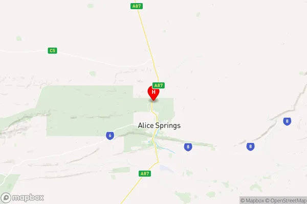
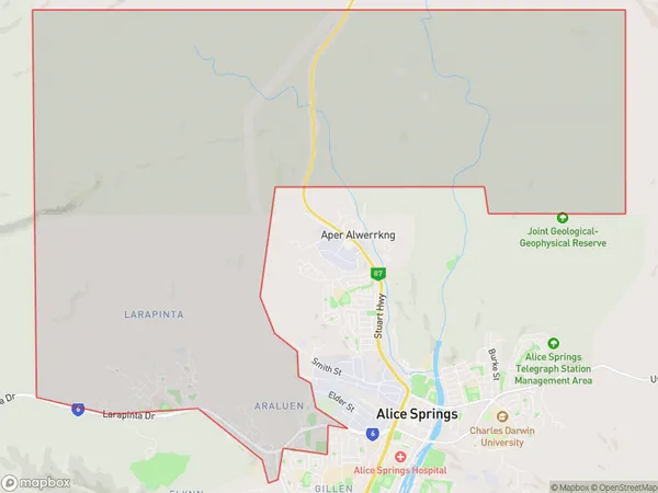
Larapinta Suburbs & Region, Larapinta Map & Postcodes
Larapinta Suburbs & Region, Larapinta Map & Postcodes in Larapinta, Alice Springs, Northern Territory Outback, NT, AU
Larapinta Region
Region Name
Larapinta (NT, AU)Larapinta Area
58.56 square kilometers (58.56 ㎢)Postal Codes
0870, 0874, and 0875 (In total, there are 3 postcodes in Larapinta.)Larapinta Introduction
The Larapinta Trail is a 233-mile hiking trail in the Northern Territory of Australia. It is located in the West MacDonnell Ranges and follows the Larapinta Range's western escarpment. The trail is part of the Northern Territory National Parks and Wildlife Conservation Act and is managed by the Northern Territory Parks and Wildlife Service. The trail passes through a variety of landscapes, including desert plains, rocky outcrops, and mountain ranges. It is home to a variety of wildlife, including kangaroos, wallabies, and emus. The trail is accessible from several points, including Alice Springs, Darwin, and Tennant Creek. It is recommended that hikers carry plenty of water and sunscreen and be prepared for extreme weather conditions. The trail is open year-round, but it is recommended to avoid the hot summer months.Australia State
City or Big Region
Greater Capital City
Rest of NT (7RNTE)District or Regional Area
Suburb Name
Larapinta Region Map

Larapinta Postcodes / Zip Codes
Larapinta Suburbs
Larapinta full address
Larapinta, Alice Springs, Northern Territory Outback, Northern Territory, NT, Australia, SaCode: 702011048Country
Larapinta, Alice Springs, Northern Territory Outback, Northern Territory, NT, Australia, SaCode: 702011048
Larapinta Suburbs & Region, Larapinta Map & Postcodes has 0 areas or regions above, and there are 3 Larapinta suburbs below. The sa2code for the Larapinta region is 702011048. Its latitude and longitude coordinates are -23.6407,133.866. Larapinta area belongs to Australia's greater capital city Rest of NT.
Larapinta Suburbs & Localities
1. Irlpme
2. Araluen
3. Larapinta
