Kintore Area, Kintore Postcode(0872) & Map in Kintore, Northern Territory - Outback, NT
Kintore Area, Kintore Postcode(0872) & Map in Kintore, Northern Territory - Outback, NT, AU, Postcode: 0872
Kintore, Tanami, Alice Springs, Northern Territory - Outback, Northern Territory, Australia, 0872
Kintore Postcode
Area Name
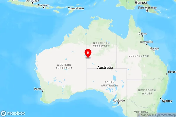
KintoreKintore Suburb Area Map (Polygon)

Kintore Introduction
Kintore is a remote cattle station in the Northern Territory of Australia. It is located approximately 550 kilometers south of Darwin and 10 kilometers north of the Stuart Highway. The station is home to a population of around 20 people and covers an area of approximately 250,000 hectares. The station is known for its rugged landscape and diverse wildlife, including kangaroos, wallabies, and emus.State Name
City or Big Region
District or Regional Area
Suburb Name
Kintore Region Map

Country
Main Region in AU
R1Coordinates
-23.276389,129.390278 (latitude/longitude)Kintore Area Map (Street)

Longitude
131.298809Latitude
-21.949513Kintore Elevation
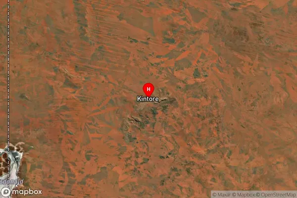
about 311.38 meters height above sea level (Altitude)Kintore Suburb Map (Satellite)

Distances
The distance from Kintore, Northern Territory - Outback, NT to AU Greater Capital CitiesSA1 Code 2011
70201105303SA1 Code 2016
70201105303SA2 Code
702011053SA3 Code
70201SA4 Code
702RA 2011
5RA 2016
5MMM 2015
7MMM 2019
7Charge Zone
NT1LGA Region
Central DesertLGA Code
70620Electorate
Lingiari