Port Sorell Suburbs & Region, Port Sorell Map & Postcodes
Port Sorell Suburbs & Region, Port Sorell Map & Postcodes in Port Sorell, Devonport, West and North West, TAS, AU
Port Sorell Region
Region Name
Port Sorell (TAS, AU)Port Sorell Area
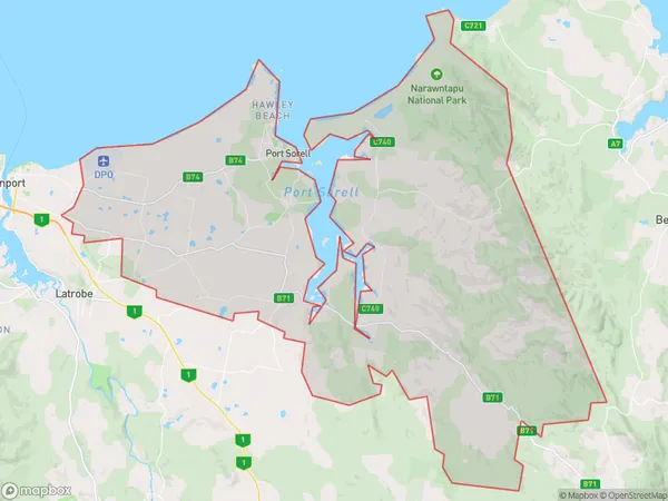
362.96 square kilometers (362.96 ㎢)Port Sorell Suburb Area Map (Polygon)
Port Sorell Introduction
Port Sorell is a small town located in the West and North West region of Tasmania, Australia. It is situated on the eastern shore of the Tamar River and is approximately 30 kilometers north-west of the state capital, Hobart. The town is known for its beautiful beaches, including Port Sorell Beach, which is a popular spot for swimming, surfing, and fishing. The town also has a historic port, which was once a major shipping hub for the region. Port Sorell is surrounded by natural beauty, including the Mount Wellington National Park and the Tamar Valley. The town has a population of around 3,000 people and is a popular tourist destination.Australia State
City or Big Region
Greater Capital City
Rest of Tas. (6RTAS)District or Regional Area
Suburb Name
Port Sorell Region Map
Port Sorell Suburbs
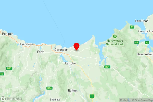
Port Sorell full address
Port Sorell, Devonport, West and North West, Tasmania, TAS, Australia, SaCode: 604021089Country
Port Sorell, Devonport, West and North West, Tasmania, TAS, Australia, SaCode: 604021089
Port Sorell Suburbs & Region, Port Sorell Map & Postcodes has 0 areas or regions above, and there are 0 Port Sorell suburbs below. The sa2code for the Port Sorell region is 604021089. Its latitude and longitude coordinates are -41.1851,146.443. Port Sorell area belongs to Australia's greater capital city Rest of Tas..