Northdown Area, Northdown Postcode(7307) & Map in Northdown, West and North West, TAS
Northdown Area, Northdown Postcode(7307) & Map in Northdown, West and North West, TAS, AU, Postcode: 7307
Northdown, Port Sorell, Devonport, West and North West, Tasmania, Australia, 7307
Northdown Postcode
Area Name
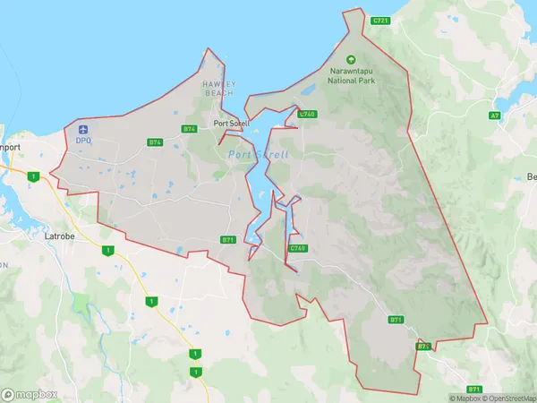
NorthdownNorthdown Suburb Area Map (Polygon)
Northdown Introduction
Northdown, West and North West are three suburbs in Tasmania, Australia, located in the north-west of the state. They are known for their natural beauty, including the Northdown River and the North West Coast. The area is popular for fishing, hiking, and camping, and has a small population of around 1,000 people.State Name
City or Big Region
District or Regional Area
Suburb Name
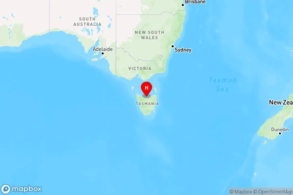
Northdown Region Map
Country
Main Region in AU
R3Coordinates
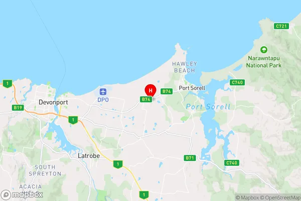
-41.1780266,146.4945244 (latitude/longitude)Northdown Area Map (Street)
Longitude
146.57356Latitude
-41.210495Northdown Elevation
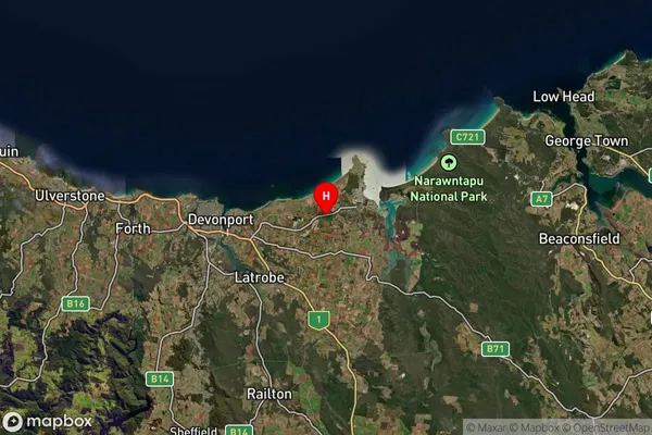
about 1.00 meters height above sea level (Altitude)Northdown Suburb Map (Satellite)
Distances
The distance from Northdown, West and North West, TAS to AU Greater Capital CitiesSA1 Code 2011
60402108904SA1 Code 2016
60402108904SA2 Code
604021089SA3 Code
60402SA4 Code
604RA 2011
3RA 2016
3MMM 2015
3MMM 2019
3Charge Zone
T1LGA Region
LatrobeLGA Code
63810Electorate
Braddon