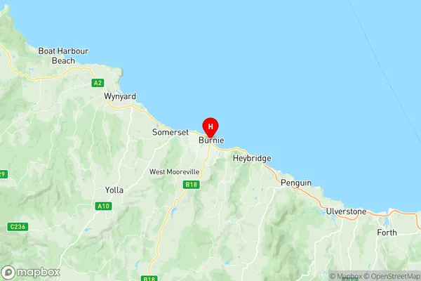
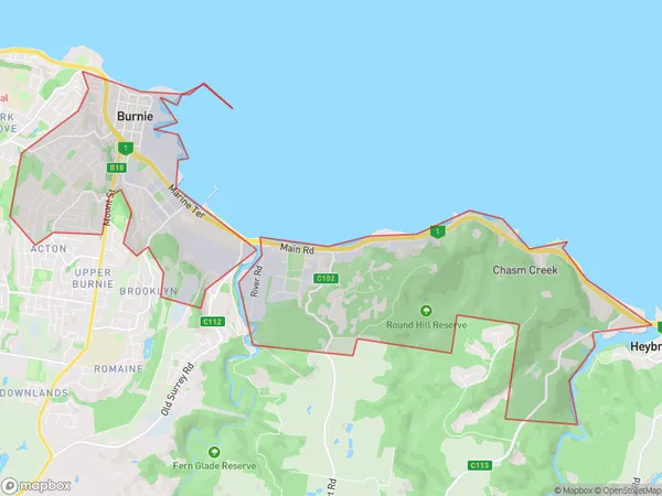
Burnie Wivenhoe Suburbs & Region, Burnie Wivenhoe Map & Postcodes
Burnie Wivenhoe Suburbs & Region, Burnie Wivenhoe Map & Postcodes in Burnie Wivenhoe, West Coast, West and North West, TAS, AU
Burnie Wivenhoe Region
Region Name
Burnie Wivenhoe (TAS, AU)Burnie Wivenhoe Area
11.45 square kilometers (11.45 ㎢)Postal Codes
7320, and 7321 (In total, there are 2 postcodes in Burnie Wivenhoe.)Burnie Wivenhoe Introduction
Burnie Wivenhoe is a locality in the Burnie City Council area, in the North West region, Tasmania, Australia. It is located about 21 km north-west of the state capital, Hobart. The post office opened as Wivenhoe on 1 August 1892 and was closed on 1 March 1977. The name was changed to Burnie Wivenhoe on 1 July 1927.Australia State
City or Big Region
Greater Capital City
Rest of Tas. (6RTAS)District or Regional Area
Suburb Name
Burnie Wivenhoe Region Map

Burnie Wivenhoe Postcodes / Zip Codes
Burnie Wivenhoe Suburbs
Burnie Wivenhoe full address
Burnie Wivenhoe, West Coast, West and North West, Tasmania, TAS, Australia, SaCode: 604011077Country
Burnie Wivenhoe, West Coast, West and North West, Tasmania, TAS, Australia, SaCode: 604011077
Burnie Wivenhoe Suburbs & Region, Burnie Wivenhoe Map & Postcodes has 0 areas or regions above, and there are 7 Burnie Wivenhoe suburbs below. The sa2code for the Burnie Wivenhoe region is 604011077. Its latitude and longitude coordinates are -41.0529,145.905. Burnie Wivenhoe area belongs to Australia's greater capital city Rest of Tas..
Burnie Wivenhoe Suburbs & Localities
1. Hillcrest
2. Burnie
3. Montello
4. Round Hill
5. South Burnie
6. Wivenhoe
7. Chasm Creek
