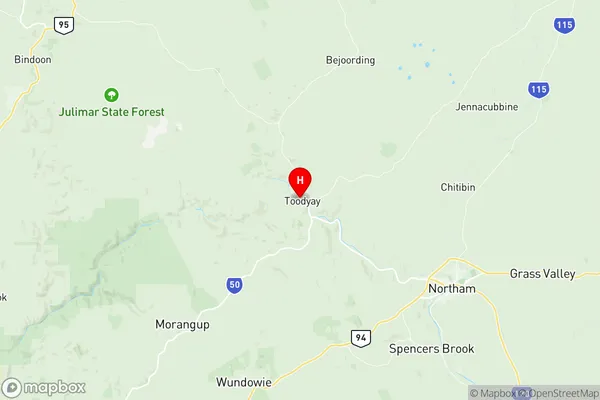
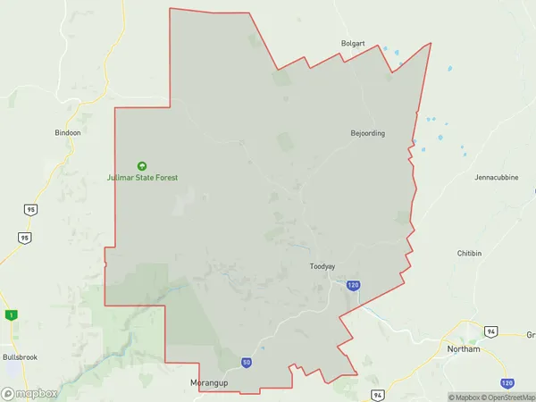
Toodyay Suburbs & Region, Toodyay Map & Postcodes
Toodyay Suburbs & Region, Toodyay Map & Postcodes in Toodyay, Wheat Belt North, Western Australia Wheat Belt, WA, AU
Toodyay Region
Region Name
Toodyay (WA, AU)Toodyay Area
1692 square kilometers (1,692 ㎢)Postal Codes
6083, 6502, and from 6566 to 6568 (In total, there are 5 postcodes in Toodyay.)Toodyay Introduction
Toodyay is a town in the Wheatbelt region of Western Australia, 220 kilometers northeast of Perth, the state capital. It is a significant agricultural center and the administrative center of the Shire of Toodyay. The town was founded in 1861 and named after the nearby Toodyay River. It is known for its historic buildings, including the Toodyay Courthouse, which is listed on the Western Australian Register of Heritage Places. The town has a population of around 2,000 people and is surrounded by farmland and wheat fields. It is also home to the Toodyay Golf Club, which has hosted the Australian Open Golf Championship several times.Australia State
City or Big Region
Greater Capital City
Rest of WA (5RWAU)District or Regional Area
Suburb Name
Toodyay Region Map

Toodyay Postcodes / Zip Codes
Toodyay Suburbs
Toodyay full address
Toodyay, Wheat Belt North, Western Australia Wheat Belt, Western Australia, WA, Australia, SaCode: 509021244Country
Toodyay, Wheat Belt North, Western Australia Wheat Belt, Western Australia, WA, Australia, SaCode: 509021244
Toodyay Suburbs & Region, Toodyay Map & Postcodes has 0 areas or regions above, and there are 14 Toodyay suburbs below. The sa2code for the Toodyay region is 509021244. Its latitude and longitude coordinates are -31.55,116.464. Toodyay area belongs to Australia's greater capital city Rest of WA.
Toodyay Suburbs & Localities
1. Morangup
2. Bindoon Training Area
3. Hoddys Well
4. Dewars Pool
5. Wattening
6. Bejoording
7. Coondle
8. Culham
9. Dumbarton
10. Nunile
11. Toodyay
12. Julimar
13. Moondyne
14. West Toodyay
