ZipCode 6566 Areas, AU PostCode 6566 Suburbs
Postcode 6566 Suburbs, ZipCode 6566 Areas & Regions in Wheat Belt - North,WA Australia
There are at least 9 AU suburbs share the same AU PostCode 6566 Suburbs in Wheat Belt - North.
Postal Code 6566 Regions
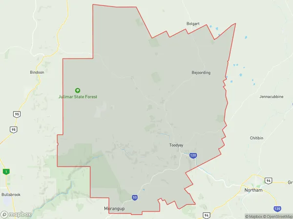
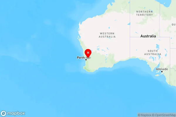
The Australia postcode 6566 regions include Toodyay, Moora in the areas of Wheat Belt - North, Toodyay, These postcode areas are all located in the state Western Australia, WA.Australia postcode 6566 is located in the state of New South Wales, in the Central Tablelands region. It covers an area of approximately 300 square kilometers and has a population of around 1,500 people. The postcode includes the towns of Bathurst, Orange, and Mudgee, as well as several smaller villages and rural areas. The area is known for its agricultural industry, particularly wine and olive production, and for its natural beauty, with many scenic parks and reserves.
ZipCode 6566 Areas Map for Toodyay
AU PostCode 6566 Suburbs Map for Moora

AU PostCode 6566 Suburbs
AU PostCode 6566 suburbs contain Hoddys Well, Bejoording, Carani, Coondle, Culham, Dumbarton, Nunile, Toodyay, West Toodyay, you can check the below link to see the 9 suburbs detailed information.
AU PostCode 6566 Suburbs Map
ZipCode 6566 Areas
1. Hoddys Well
2. Bejoording
3. Carani
4. Coondle
5. Culham
6. Dumbarton
7. Nunile
8. Toodyay
9. West Toodyay