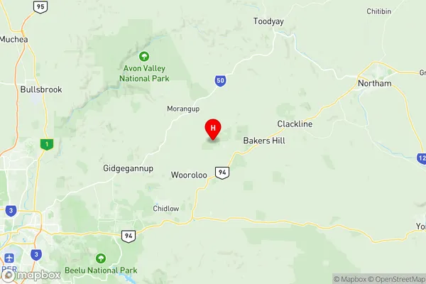
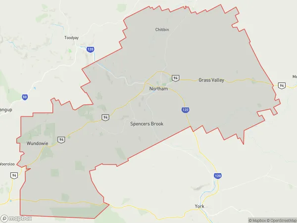
Northam Suburbs & Region, Northam Map & Postcodes
Northam Suburbs & Region, Northam Map & Postcodes in Northam, Wheat Belt North, Western Australia Wheat Belt, WA, AU
Northam Region
Region Name
Northam (WA, AU)Northam Area
1431 square kilometers (1,431 ㎢)Postal Codes
6401, 6403, 6560, 6562, and 6564 (In total, there are 5 postcodes in Northam.)Northam Introduction
Northam is a town in the Wheatbelt region of Western Australia, 166 kilometers northeast of Perth, the state capital. It is the administrative center of the Shire of Northam and is located on the Northam-Perenjori Road. The town was founded in 1861 and named after the Premier of Western Australia, Sir George Northam. The town has a population of around 8,000 people and is a major agricultural center, with wheat, sheep, and cattle being the main crops grown. Northam also has a rail siding and a airport. The town is surrounded by beautiful natural scenery, including the Darling Range and the Avon River.Australia State
City or Big Region
Greater Capital City
Rest of WA (5RWAU)District or Regional Area
Suburb Name
Northam Region Map

Northam Postcodes / Zip Codes
Northam Suburbs
Northam full address
Northam, Wheat Belt North, Western Australia Wheat Belt, Western Australia, WA, Australia, SaCode: 509021243Country
Northam, Wheat Belt North, Western Australia Wheat Belt, Western Australia, WA, Australia, SaCode: 509021243
Northam Suburbs & Region, Northam Map & Postcodes has 0 areas or regions above, and there are 20 Northam suburbs below. The sa2code for the Northam region is 509021243. Its latitude and longitude coordinates are -31.7502,116.36. Northam area belongs to Australia's greater capital city Rest of WA.
Northam Suburbs & Localities
1. Burlong
2. Katrine
3. Meenaar
4. Mokine
5. Northam
6. Throssell
7. Grass Valley
8. Buckland
9. Irishtown
10. Muluckine
11. Jennapullin
12. Malabaine
13. Muresk
14. Southern Brook
15. Spencers Brook
16. Bakers Hill
17. Copley
18. Clackline
19. Woottating
20. Wundowie
