Wundowie Area, Wundowie Postcode(6560) & Map in Wundowie, Western Australia - Wheat Belt, WA
Wundowie Area, Wundowie Postcode(6560) & Map in Wundowie, Western Australia - Wheat Belt, WA, AU, Postcode: 6560
Wundowie, Northam, Wheat Belt - North, Western Australia - Wheat Belt, Western Australia, Australia, 6560
Wundowie Postcode
Area Name
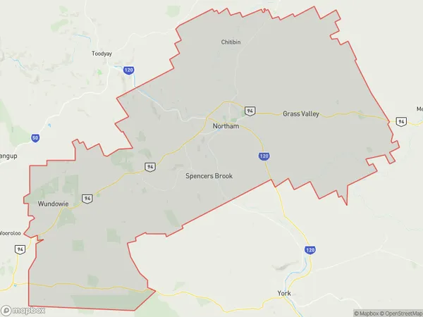
WundowieWundowie Suburb Area Map (Polygon)
Wundowie Introduction
Wundowie is a town in the Wheat Belt region of Western Australia, located 220 km southeast of Perth. It is known for its wheat production and has a population of around 1,000 people. The town has a primary school, a general store, and a hotel.State Name
City or Big Region
District or Regional Area
Suburb Name
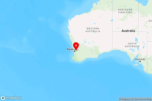
Wundowie Region Map
Country
Main Region in AU
R3Coordinates
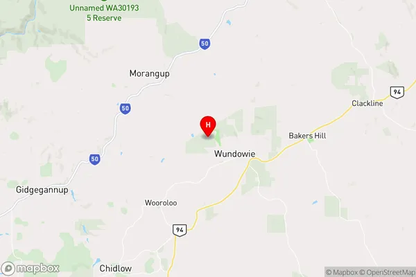
-31.7501607,116.3603652 (latitude/longitude)Wundowie Area Map (Street)
Longitude
116.428564Latitude
-31.817666Wundowie Elevation
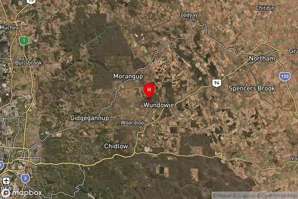
about 321.03 meters height above sea level (Altitude)Wundowie Suburb Map (Satellite)
Distances
The distance from Wundowie, Western Australia - Wheat Belt, WA to AU Greater Capital CitiesSA1 Code 2011
50902124309SA1 Code 2016
50902124309SA2 Code
509021243SA3 Code
50902SA4 Code
509RA 2011
2RA 2016
2MMM 2015
5MMM 2019
5Charge Zone
W2LGA Region
MundaringLGA Code
56090Electorate
Pearce