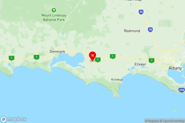
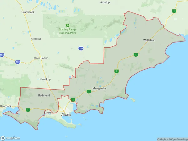
Albany Region Suburbs & Region, Albany Region Map & Postcodes
Albany Region Suburbs & Region, Albany Region Map & Postcodes in Albany Region, Albany, Western Australia Wheat Belt, WA, AU
Albany Region Region
Region Name
Albany Region (WA, AU)Albany Region Area
4009 square kilometers (4,009 ㎢)Postal Codes
6324, 6327, 6328, and 6330 (In total, there are 4 postcodes in Albany Region.)Albany Region Introduction
The Albany Region, Western Australia Wheat Belt, Western Australia, AU, is a significant agricultural area in Western Australia known for its wheat production. It is located in the south-east of the state and covers an area of approximately 100,000 square kilometers. The region is characterized by fertile soils, a temperate climate, and reliable rainfall, making it ideal for wheat farming. The Albany Region is home to several major wheat farms, including the Albany Agricultural Company, which is one of the largest wheat producers in the world. The region also supports a thriving livestock industry, with sheep and cattle being raised in many areas. The Albany Region is an important economic hub for Western Australia, contributing to the state's agriculture and tourism industries. The city of Albany is the regional capital and is home to a university, a hospital, and a variety of shops and restaurants. The region is also a popular tourist destination, with many visitors coming to explore the natural beauty of the area, including the Albany National Park and the Stirling Range National Park.Australia State
City or Big Region
Greater Capital City
Rest of WA (5RWAU)District or Regional Area
Suburb Name
Albany Region Region Map

Albany Region Postcodes / Zip Codes
Albany Region Suburbs
Albany Region full address
Albany Region, Albany, Western Australia Wheat Belt, Western Australia, WA, Australia, SaCode: 509011226Country
Albany Region, Albany, Western Australia Wheat Belt, Western Australia, WA, Australia, SaCode: 509011226
Albany Region Suburbs & Region, Albany Region Map & Postcodes has 0 areas or regions above, and there are 25 Albany Region suburbs below. The sa2code for the Albany Region region is 509011226. Its latitude and longitude coordinates are -35.0011,117.516. Albany Region area belongs to Australia's greater capital city Rest of WA.
Albany Region Suburbs & Localities
1. South Stirling
2. Mettler
3. Drome
4. Kalgan
5. Nullaki
6. Torbay
7. Redmond
8. Redmond West
9. Cape Riche
10. Gnowellen
11. Palmdale
12. Wellstead
13. Cheynes
14. Green Range
15. Green Valley
16. Nanarup
17. Youngs Siding
18. Kojaneerup South
19. Manypeaks
20. Bornholm
21. Kronkup
22. Lowlands
23. Marbelup
24. Napier
25. West Cape Howe
