ZipCode 6328 Areas, AU PostCode 6328 Suburbs
Postcode 6328 Suburbs, ZipCode 6328 Areas & Regions in Albany,WA Australia
There are at least 9 AU suburbs share the same AU PostCode 6328 Suburbs in Albany.
Postal Code 6328 Regions
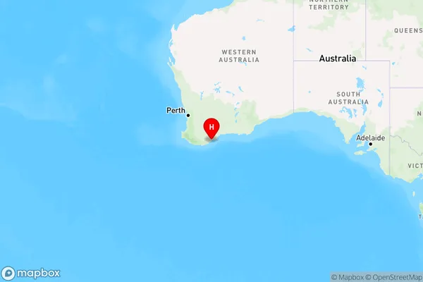
The Australia postcode 6328 regions include Albany Region in the areas of Albany, Albany Region, These postcode areas are all located in the state Western Australia, WA.Australia postcode 6328 is located in the state of Western Australia, in the town of Kalgoorlie. It covers an area of approximately 1.5 square kilometers and has a population of around 10,000 people. The postcode is known for its mining industry, with many of the town's residents working in the nearby gold mines. It is also home to a number of tourist attractions, including the Super Pit, the Kalgoorlie Museum, and the Goldfields War Museum.
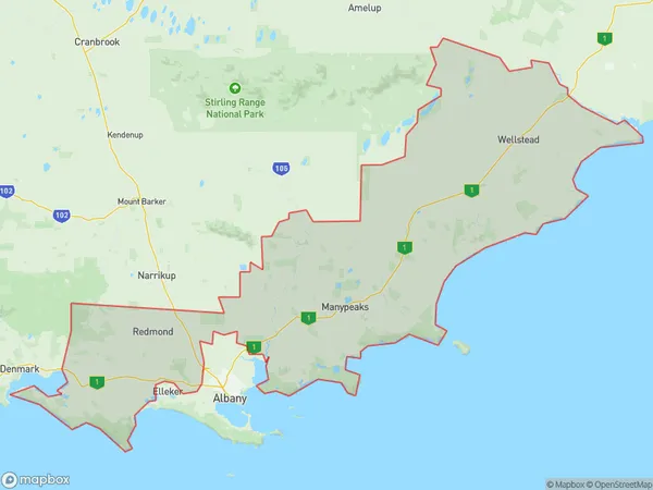
ZipCode 6328 Areas Map for Albany Region
AU PostCode 6328 Suburbs
AU PostCode 6328 suburbs contain Cape Riche, Cheynes, Gnowellen, Green Range, Kojaneerup South, Manypeaks, Mettler, Palmdale, Wellstead, you can check the below link to see the 9 suburbs detailed information.
AU PostCode 6328 Suburbs Map
ZipCode 6328 Areas
1. Cape Riche
2. Cheynes
3. Gnowellen
4. Green Range
5. Kojaneerup South
6. Manypeaks
7. Mettler
8. Palmdale
9. Wellstead