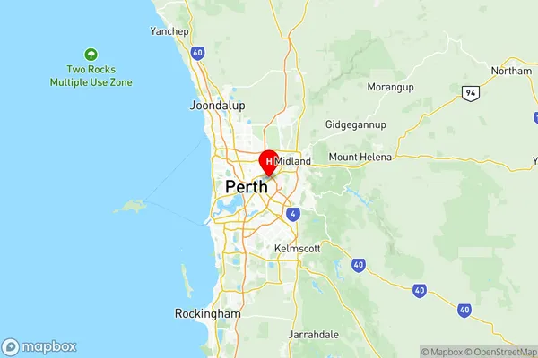
Belmont Victoria Park Suburbs & Region, Belmont Victoria Park Map & Postcodes
Belmont Victoria Park Suburbs & Region, Belmont Victoria Park Map & Postcodes in Belmont Victoria Park, Perth South East, WA, AU
Belmont Victoria Park Region
Region Name
Belmont Victoria Park (WA, AU)Belmont Victoria Park Area
60.11 square kilometers (60.11 ㎢)Belmont Victoria Park Introduction
Belmont Victoria Park is a large park located in Perth, South East, Western Australia. It is a popular destination for locals and tourists alike, offering a wide range of activities and facilities. The park features a beautiful lake, walking trails, picnic areas, playgrounds, and a variety of sporting facilities, including cricket nets, basketball courts, and an oval. The park also hosts a variety of events and festivals throughout the year, including the Belmont Showground Market, the Perth Festival, and the Belmont Christmas Pageant.Australia State
City or Big Region
District or Regional Area
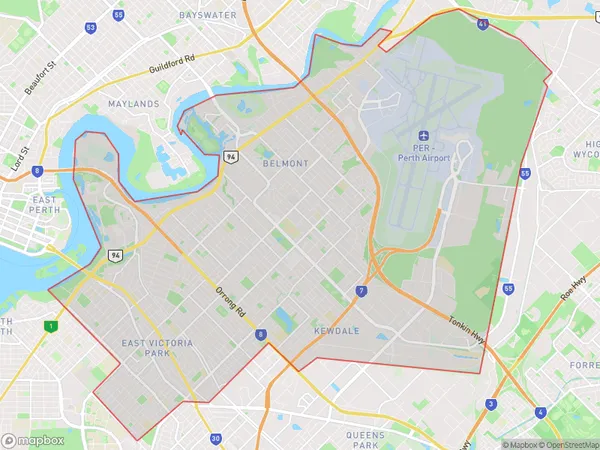
Belmont Victoria Park Region Map

Belmont Victoria Park Suburbs
Belmont Ascot Redcliffe
East Victoria Park Carlisle
Victoria Park Lathlain Burswood
Belmont Victoria Park full address
Belmont Victoria Park, Perth South East, Western Australia, WA, Australia, SaCode: 50602Country
Belmont Victoria Park, Perth South East, Western Australia, WA, Australia, SaCode: 50602
Belmont Victoria Park Suburbs & Region, Belmont Victoria Park Map & Postcodes has 9 areas or regions above, and there are 0 Belmont Victoria Park suburbs below. The sa3code for the Belmont Victoria Park region is 50602. Its latitude and longitude coordinates are -31.9355,115.93.
