Dayton Area, Dayton Postcode(6055) & Map in Dayton, Perth - North East, WA
Dayton Area, Dayton Postcode(6055) & Map in Dayton, Perth - North East, WA, AU, Postcode: 6055
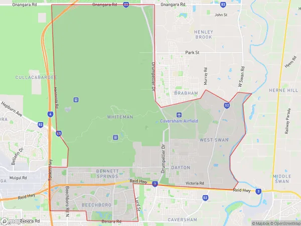
Dayton, Beechboro, Swan, Perth - North East, Western Australia, Australia, 6055
Dayton Postcode
Area Name
DaytonDayton Suburb Area Map (Polygon)
Dayton Introduction
Dayton is a suburb of Perth, Western Australia, located in the City of Swan. It is situated 15 kilometers northeast of Perth's central business district and is known for its natural beauty, including the nearby Herdsman Lake and the John Forrest National Park. Dayton has a population of approximately 10,000 people and offers a range of amenities, including schools, shopping centers, and recreational facilities.State Name
City or Big Region
District or Regional Area
Suburb Name
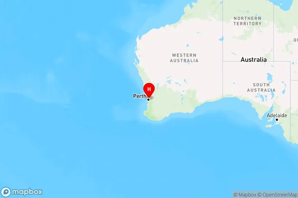
Dayton Region Map
Country
Main Region in AU
R2Coordinates
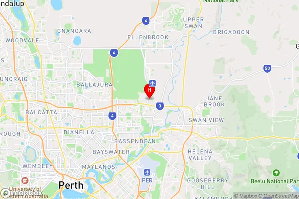
-31.8556,115.969 (latitude/longitude)Dayton Area Map (Street)
Longitude
115.9743113Latitude
-31.85453394Dayton Elevation
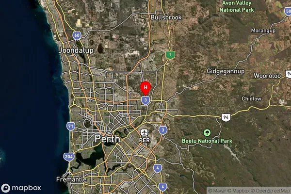
about 16.12 meters height above sea level (Altitude)Dayton Suburb Map (Satellite)
Distances
The distance from Dayton, Perth - North East, WA to AU Greater Capital CitiesSA1 Code 2011
50403105733SA1 Code 2016
50403105733SA2 Code
504031057SA3 Code
50403SA4 Code
504RA 2011
1RA 2016
1MMM 2015
1MMM 2019
1Charge Zone
W1LGA Region
BassendeanLGA Code
50350Electorate
Swan