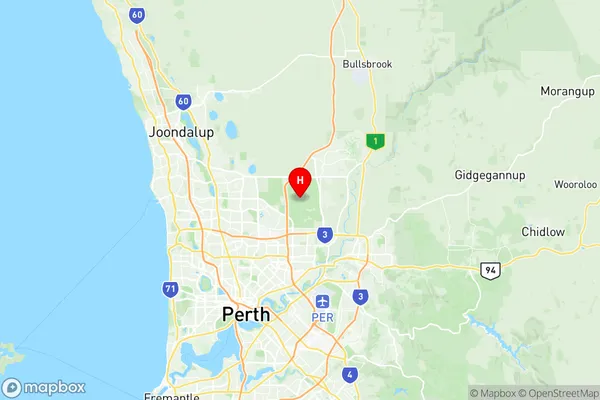
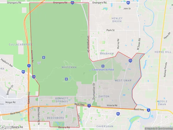
Beechboro Suburbs & Region, Beechboro Map & Postcodes
Beechboro Suburbs & Region, Beechboro Map & Postcodes in Beechboro, Swan, Perth North East, WA, AU
Beechboro Region
Region Name
Beechboro (WA, AU)Beechboro Area
47.11 square kilometers (47.11 ㎢)Postal Codes
6055, 6063, and 6068 (In total, there are 3 postcodes in Beechboro.)Beechboro Introduction
Beechboro is a suburb of Perth, the capital city of Western Australia, located 17 kilometers northeast of Perth's central business district (CBD). It is part of the City of Stirling and is named after the Beechboro Forest, which is located within its boundaries. Beechboro is a relatively new suburb, with most of the development occurring in the 1990s and 2000s. It is a popular residential area due to its proximity to the city, affordable housing, and good quality schools. The suburb has a variety of amenities, including a shopping center, a medical center, a library, and several parks. It is also home to the Beechboro Oval, which is used for cricket, football, and other sports.Australia State
City or Big Region
Greater Capital City
Greater Perth (5GPER)District or Regional Area
Suburb Name
Beechboro Region Map

Beechboro Postcodes / Zip Codes
Beechboro Suburbs
Beechboro full address
Beechboro, Swan, Perth North East, Western Australia, WA, Australia, SaCode: 504031057Country
Beechboro, Swan, Perth North East, Western Australia, WA, Australia, SaCode: 504031057
Beechboro Suburbs & Region, Beechboro Map & Postcodes has 0 areas or regions above, and there are 5 Beechboro suburbs below. The sa2code for the Beechboro region is 504031057. Its latitude and longitude coordinates are -31.8225,115.935. Beechboro area belongs to Australia's greater capital city Greater Perth.
Beechboro Suburbs & Localities
1. Beechboro
2. Dayton
3. West Swan
4. Whiteman
5. Bennett Springs
