Bushmead Area, Bushmead Postcode(6055) & Map in Bushmead, Perth - North East, WA
Bushmead Area, Bushmead Postcode(6055) & Map in Bushmead, Perth - North East, WA, AU, Postcode: 6055
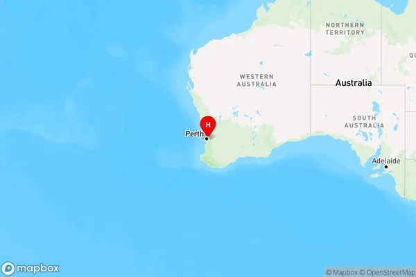
Bushmead, Hazelmere - Guildford, Swan, Perth - North East, Western Australia, Australia, 6055
Bushmead Postcode
Area Name
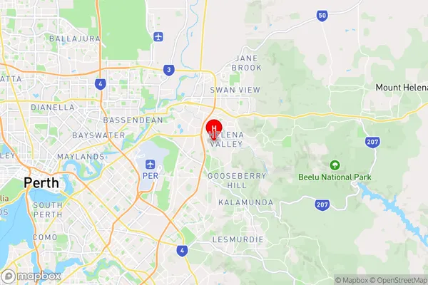
BushmeadBushmead Suburb Area Map (Polygon)

Bushmead Introduction
Bushmead is a suburb of Perth, Western Australia, located in the City of Swan. It is a residential area with a mix of housing types, including apartments, houses, and townhouses. Bushmead is known for its natural beauty, with many parks and reserves nearby. It is also close to the Swan River and the Perth CBD.State Name
City or Big Region
District or Regional Area
Suburb Name
Bushmead Region Map
Country
Main Region in AU
R2Coordinates
-31.9229,116.027 (latitude/longitude)Bushmead Area Map (Street)
Longitude
116.0299538Latitude
-31.92821488Bushmead Elevation
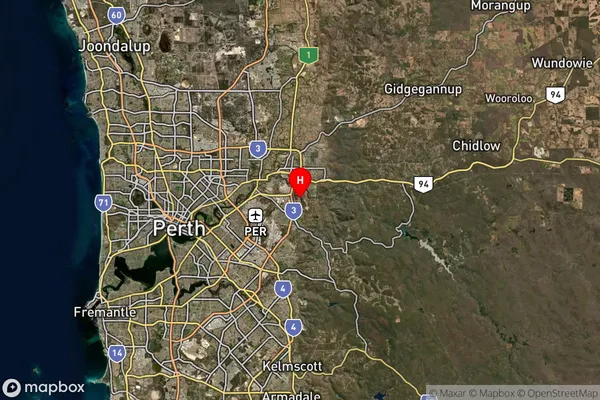
about 37.87 meters height above sea level (Altitude)Bushmead Suburb Map (Satellite)
Distances
The distance from Bushmead, Perth - North East, WA to AU Greater Capital CitiesSA1 Code 2011
50403106104SA1 Code 2016
50403106104SA2 Code
504031061SA3 Code
50403SA4 Code
504RA 2011
1RA 2016
1MMM 2015
1MMM 2019
1Charge Zone
W1LGA Region
BelmontLGA Code
50490Electorate
Swan