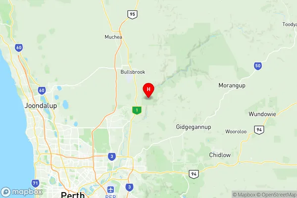
Walyunga National Park Suburbs & Region, Walyunga National Park Map & Postcodes
Walyunga National Park Suburbs & Region, Walyunga National Park Map & Postcodes in Walyunga National Park, Wheat Belt North, Western Australia Wheat Belt, WA, AU
Walyunga National Park Region
Region Name
Walyunga National Park (WA, AU)Walyunga National Park Area
17.95 square kilometers (17.95 ㎢)Postal Codes
6084 (In total, there are 1 postcodes in Walyunga National Park.)Walyunga National Park Introduction
Walyunga National Park is located in the Wheatbelt region of Western Australia, about 250 kilometers southeast of Perth. The park is named after the Walyunga River, which flows through it and provides water for the region. The park is home to a variety of wildlife, including kangaroos, emus, and wallabies. It is also home to several species of birds, including the endangered black cockatoo. The park has a variety of landscapes, including grasslands, woodlands, and wetlands. There are several walking trails and campgrounds in the park, and it is a popular destination for outdoor enthusiasts. The park is also home to the Walyunga Visitor Centre, which provides information about the park's history and wildlife.Australia State
City or Big Region
Greater Capital City
Greater Perth (5GPER)District or Regional Area
Suburb Name
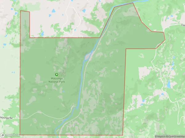
Walyunga National Park Region Map

Walyunga National Park Postcodes / Zip Codes
Walyunga National Park Suburbs
Walyunga National Park full address
Walyunga National Park, Wheat Belt North, Western Australia Wheat Belt, Western Australia, WA, Australia, SaCode: 504031069Country
Walyunga National Park, Wheat Belt North, Western Australia Wheat Belt, Western Australia, WA, Australia, SaCode: 504031069
Walyunga National Park Suburbs & Region, Walyunga National Park Map & Postcodes has 0 areas or regions above, and there are 1 Walyunga National Park suburbs below. The sa2code for the Walyunga National Park region is 504031069. Its latitude and longitude coordinates are -31.7276,116.071. Walyunga National Park area belongs to Australia's greater capital city Greater Perth.
Walyunga National Park Suburbs & Localities
1. Walyunga National Park
