Walyunga National Park Area, Walyunga National Park Postcode(6084) & Map in Walyunga National Park, Perth - North East, WA
Walyunga National Park Area, Walyunga National Park Postcode(6084) & Map in Walyunga National Park, Perth - North East, WA, AU, Postcode: 6084
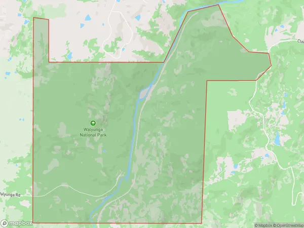
Walyunga National Park, Walyunga National Park, Swan, Perth - North East, Western Australia, Australia, 6084
Walyunga National Park Postcode
Area Name
Walyunga National ParkWalyunga National Park Suburb Area Map (Polygon)
Walyunga National Park Introduction
Walyunga National Park is a protected area in Perth, Western Australia, known for its scenic beauty and diverse wildlife. It features a network of trails, including the Walyunga Plateau Walk, which offers stunning views of the Swan River and the Darling Range. The park is home to various bird species, including the kookaburra and the cockatoo, as well as kangaroos, emus, and koalas. Visitors can also enjoy fishing, camping, and picnicking in the park's natural surroundings.State Name
City or Big Region
District or Regional Area
Suburb Name
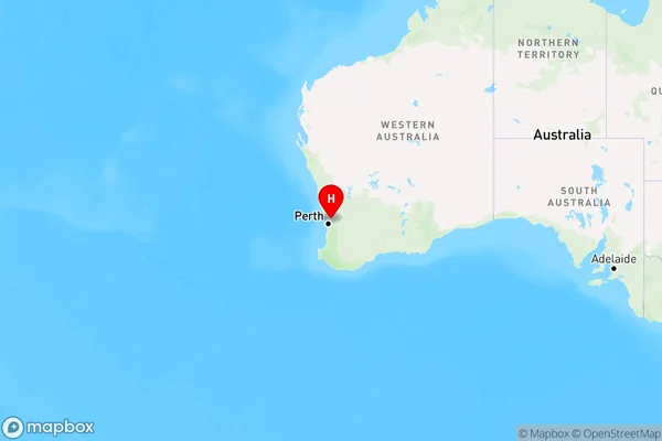
Walyunga National Park Region Map
Country
Main Region in AU
R3Coordinates
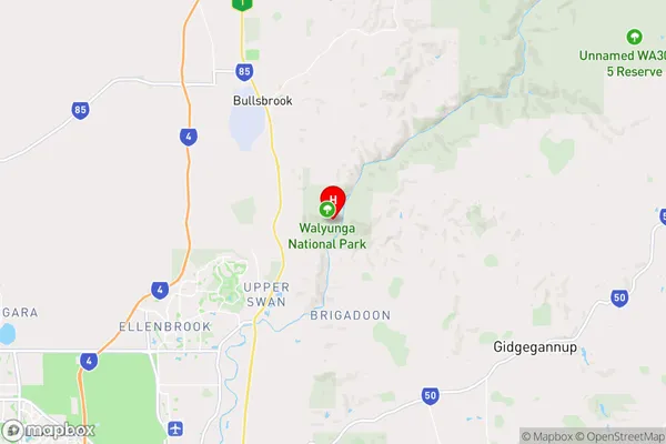
-31.727634,116.0709096 (latitude/longitude)Walyunga National Park Area Map (Street)
Longitude
116.072828Latitude
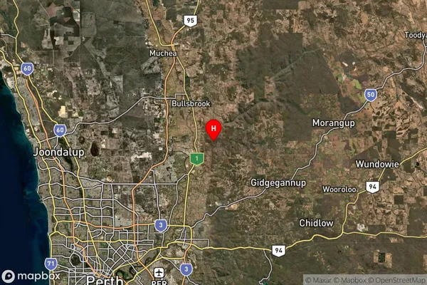
-31.622021Walyunga National Park Suburb Map (Satellite)
Distances
The distance from Walyunga National Park, Perth - North East, WA to AU Greater Capital CitiesSA1 Code 2011
50403106901SA1 Code 2016
50403106901SA2 Code
504031069SA3 Code
50403SA4 Code
504RA 2011
2RA 2016
2MMM 2015
2MMM 2019
2Charge Zone
W1LGA Region
SwanLGA Code
58050Electorate
Pearce