Murray Bridge Region Suburbs & Region, Murray Bridge Region Map & Postcodes
Murray Bridge Region Suburbs & Region, Murray Bridge Region Map & Postcodes in Murray Bridge Region, Murray and Mallee, South Australia South East, SA, AU
Murray Bridge Region Region
Region Name
Murray Bridge Region (SA, AU)Murray Bridge Region Area
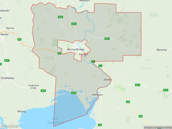
1925 square kilometers (1,925 ㎢)Murray Bridge Region Suburb Area Map (Polygon)
Murray Bridge Region Introduction
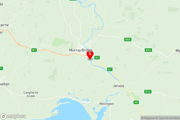
Murray Bridge Region is a local government area in South Australia located in the state's southeast. It is named after the town of Murray Bridge and covers an area of 1,239 square kilometers. The region is home to a population of around 15,000 people and is known for its agriculture, particularly the production of wheat and sheep. The region includes the towns of Murray Bridge, Mannum, and Monarto, as well as the surrounding rural areas. Murray Bridge is the administrative center of the region and is located on the banks of the Murray River. It is a major transport hub, with a rail station and an airport. The region is also home to several tourist attractions, including the Murray River National Park and the Monarto Zoo.Australia State
City or Big Region
Greater Capital City
Rest of SA (4RSAU)District or Regional Area
Suburb Name
Murray Bridge Region Region Map
Murray Bridge Region Suburbs
Murray Bridge Region full address
Murray Bridge Region, Murray and Mallee, South Australia South East, South Australia, SA, Australia, SaCode: 407031166Country
Murray Bridge Region, Murray and Mallee, South Australia South East, South Australia, SA, Australia, SaCode: 407031166
Murray Bridge Region Suburbs & Region, Murray Bridge Region Map & Postcodes has 0 areas or regions above, and there are 0 Murray Bridge Region suburbs below. The sa2code for the Murray Bridge Region region is 407031166. Its latitude and longitude coordinates are -35.1679,139.307. Murray Bridge Region area belongs to Australia's greater capital city Rest of SA.