Wall Area, Wall Postcode(5238) & Map in Wall, South Australia - South East, SA
Wall Area, Wall Postcode(5238) & Map in Wall, South Australia - South East, SA, AU, Postcode: 5238
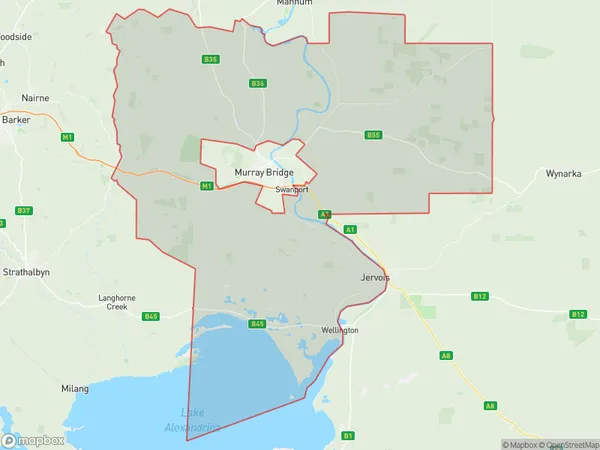
Wall, Murray Bridge Region, Murray and Mallee, South Australia - South East, South Australia, Australia, 5238
Wall Postcode
Area Name
WallWall Suburb Area Map (Polygon)
Wall Introduction
Wall is a town in the South East region of South Australia, Australia. It is located on the eastern side of the Mount Lofty Ranges and is known for its wine production, particularly Riesling. The town has a population of around 1,000 people and is a popular tourist destination.State Name
City or Big Region
District or Regional Area
Suburb Name
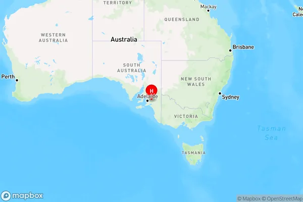
Wall Region Map
Country
Main Region in AU
R3Coordinates
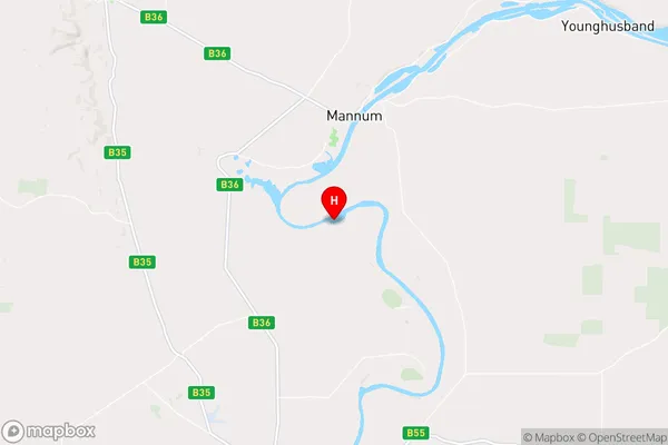
-34.9675,139.3 (latitude/longitude)Wall Area Map (Street)
Longitude
139.497207Latitude
-34.867709Wall Elevation
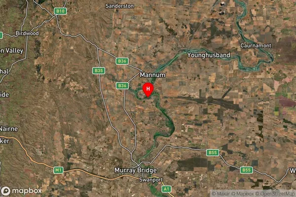
about 7.21 meters height above sea level (Altitude)Wall Suburb Map (Satellite)
Distances
The distance from Wall, South Australia - South East, SA to AU Greater Capital CitiesSA1 Code 2011
40703116604SA1 Code 2016
40703116604SA2 Code
407031166SA3 Code
40703SA4 Code
407RA 2011
2RA 2016
2MMM 2015
5MMM 2019
5Charge Zone
S2LGA Region
Murray BridgeLGA Code
45040Electorate
Barker