Tatiara Suburbs & Region, Tatiara Map & Postcodes
Tatiara Suburbs & Region, Tatiara Map & Postcodes in Tatiara, Limestone Coast, South Australia South East, SA, AU
Tatiara Region
Region Name
Tatiara (SA, AU)Tatiara Area
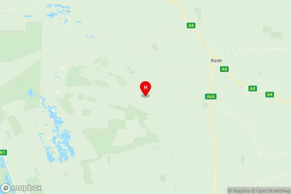
6527 square kilometers (6,527 ㎢)Tatiara Suburb Area Map (Polygon)

Tatiara Introduction
Tatiara is a locality in the Australian state of South Australia located in the Mount Gambier Region. It is situated approximately 365 kilometers south-east of the state capital of Adelaide and 10 kilometers north-east of the town of Mount Gambier. The post office opened on 1 October 1887 and was closed on 1 March 1974. The name Tatiara is derived from the indigenous word 'tatjara,' meaning 'thunder.' The locality is primarily a farming area, with crops such as wheat, barley, and sheep being the main products. There are also a number of wineries in the region, including Tatiara Wines, which is located in the town of Mount Gambier. The Tatiara Conservation Park is located in the south-east of the locality and is a popular destination for bushwalking and camping. The park is home to a variety of native plants and animals, including kangaroos, wallabies, and emus.Australia State
City or Big Region
Greater Capital City
Rest of SA (4RSAU)District or Regional Area
Suburb Name
Tatiara Region Map
Tatiara Suburbs
Tatiara full address
Tatiara, Limestone Coast, South Australia South East, South Australia, SA, Australia, SaCode: 407021157Country
Tatiara, Limestone Coast, South Australia South East, South Australia, SA, Australia, SaCode: 407021157
Tatiara Suburbs & Region, Tatiara Map & Postcodes has 0 areas or regions above, and there are 0 Tatiara suburbs below. The sa2code for the Tatiara region is 407021157. Its latitude and longitude coordinates are -36.1816,140.152. Tatiara area belongs to Australia's greater capital city Rest of SA.