Sherwood Area, Sherwood Postcode(5267) & Map in Sherwood, South Australia - South East, SA
Sherwood Area, Sherwood Postcode(5267) & Map in Sherwood, South Australia - South East, SA, AU, Postcode: 5267
Sherwood, Tatiara, Limestone Coast, South Australia - South East, South Australia, Australia, 5267
Sherwood Postcode
Area Name
SherwoodSherwood Suburb Area Map (Polygon)

Sherwood Introduction
Sherwood is a suburb of Adelaide, South Australia, located in the City of Tea Tree Gully. It is known for its parks, including Sherwood Reserve and Sherwood Park, and its proximity to the Tea Tree Gully Golf Course. The suburb has a population of approximately 10,000 people and is home to a variety of businesses and amenities.State Name
City or Big Region
District or Regional Area
Suburb Name
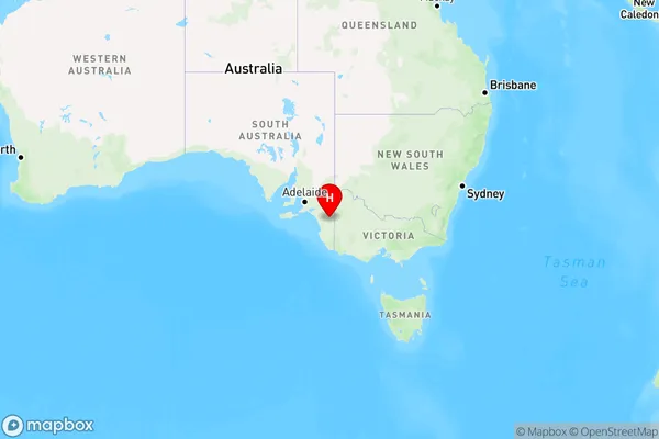
Sherwood Region Map
Country
Main Region in AU
R3Coordinates
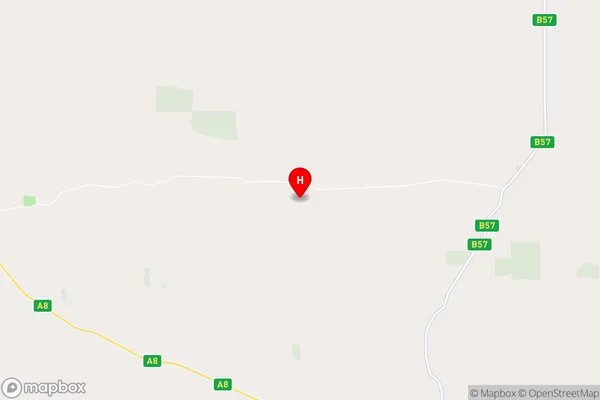
-36.0828906,140.5821313 (latitude/longitude)Sherwood Area Map (Street)
Longitude
140.348707Latitude
-36.093534Sherwood Elevation
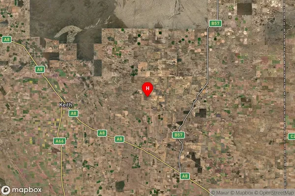
about 32.02 meters height above sea level (Altitude)Sherwood Suburb Map (Satellite)
Distances
The distance from Sherwood, South Australia - South East, SA to AU Greater Capital CitiesSA1 Code 2011
40702115704SA1 Code 2016
40702115704SA2 Code
407021157SA3 Code
40702SA4 Code
407RA 2011
4RA 2016
4MMM 2015
6MMM 2019
6Charge Zone
S2LGA Region
TatiaraLGA Code
47630Electorate
Barker