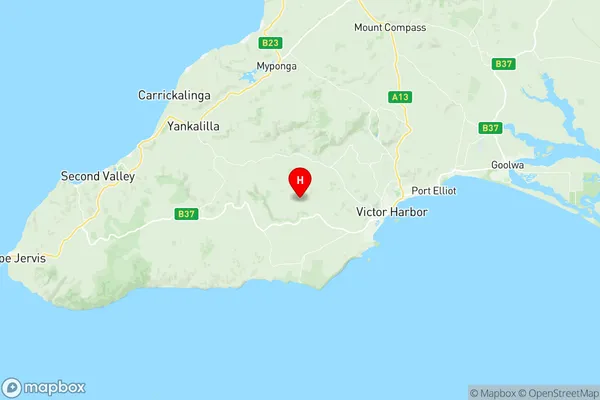
Yankalilla Suburbs & Region, Yankalilla Map & Postcodes
Yankalilla Suburbs & Region, Yankalilla Map & Postcodes in Yankalilla, Fleurieu Kangaroo Island, South Australia South East, SA, AU
Yankalilla Region
Region Name
Yankalilla (SA, AU)Yankalilla Area
980.13 square kilometers (980.13 ㎢)Yankalilla Introduction
Yankalilla is a locality in the Australian state of South Australia located in the City of Marion. It is situated about 38 kilometers (24 mi) south of the Adelaide central business district and 45 kilometers (28 mi) south of the state capital, Adelaide. The post office opened as Yankalilla on 1 August 1856 and was closed on 1 March 1974. The name Yankalilla is derived from the indigenous word "yankala," meaning "place of water." The area was originally inhabited by the Kaurna people, who had a strong connection to the land and its resources. The first European settlers arrived in the area in the late 1830s, and the first farm was established in 1840. Yankalilla is a primarily agricultural area, with crops including wheat, barley, and grapes being grown in the surrounding areas. The town also has a number of tourist attractions, including the Yankalilla Cheese and Wine Factory, which produces a range of cheese and wine products. The town is also home to the Yankalilla Conservation Park, which is a protected area that covers over 1,000 hectares (2,500 acres) of land and is home to a variety of plant and animal species. The population of Yankalilla was 1,136 at theAustralia State
City or Big Region
Greater Capital City
Rest of SA (4RSAU)District or Regional Area
Suburb Name
Yankalilla Region Map

Yankalilla Suburbs
Yankalilla full address
Yankalilla, Fleurieu Kangaroo Island, South Australia South East, South Australia, SA, Australia, SaCode: 407011149Country
Yankalilla, Fleurieu Kangaroo Island, South Australia South East, South Australia, SA, Australia, SaCode: 407011149
Yankalilla Suburbs & Region, Yankalilla Map & Postcodes has 0 areas or regions above, and there are 0 Yankalilla suburbs below. The sa2code for the Yankalilla region is 407011149. Its latitude and longitude coordinates are -35.5413,138.497. Yankalilla area belongs to Australia's greater capital city Rest of SA.
