Tunkalilla Area, Tunkalilla Postcode(5203) & Map in Tunkalilla, South Australia - South East, SA
Tunkalilla Area, Tunkalilla Postcode(5203) & Map in Tunkalilla, South Australia - South East, SA, AU, Postcode: 5203
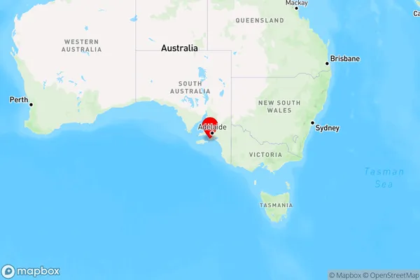
Tunkalilla, Yankalilla, Fleurieu - Kangaroo Island, South Australia - South East, South Australia, Australia, 5203
Tunkalilla Postcode
Area Name
TunkalillaTunkalilla Suburb Area Map (Polygon)

Tunkalilla Introduction
Tunkalilla is a small town in South Australia, located on the coast of the Southern Ocean. It is known for its beautiful beaches, fishing, and surfing. The town has a population of around 1,000 people and is a popular tourist destination.State Name
City or Big Region
District or Regional Area
Suburb Name
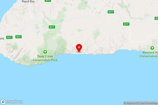
Tunkalilla Region Map
Country
Main Region in AU
R3Coordinates
-35.6361554,138.3234083 (latitude/longitude)Tunkalilla Area Map (Street)
Longitude
138.388132Latitude
-35.450839Tunkalilla Elevation
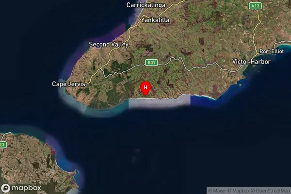
about 137.16 meters height above sea level (Altitude)Tunkalilla Suburb Map (Satellite)
Distances
The distance from Tunkalilla, South Australia - South East, SA to AU Greater Capital CitiesSA1 Code 2011
40701114911SA1 Code 2016
40701114911SA2 Code
407011149SA3 Code
40701SA4 Code
407RA 2011
2RA 2016
2MMM 2015
5MMM 2019
5Charge Zone
S2LGA Region
YankalillaLGA Code
48750Electorate
Mayo