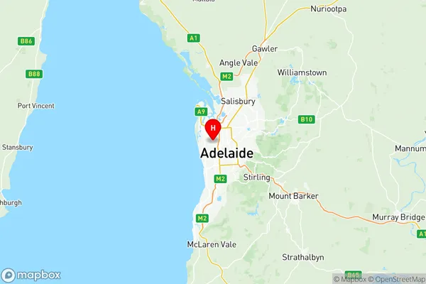
Charles Sturt Suburbs & Region, Charles Sturt Map & Postcodes
Charles Sturt Suburbs & Region, Charles Sturt Map & Postcodes in Charles Sturt, Adelaide West, SA, AU
Charles Sturt Region
Region Name
Charles Sturt (SA, AU)Charles Sturt Area
53.32 square kilometers (53.32 ㎢)Postal Codes
5007, 5009, 5011, from 5020 to 5023, and 5082 (In total, there are 8 postcodes in Charles Sturt.)Charles Sturt Introduction
Charles Sturt, Adelaide West, South Australia, AU, is a suburb located 5 km from the Adelaide city center. It is named after explorer Charles Sturt, who passed through the area in 1830. The suburb has a variety of housing styles, including single-family homes, apartments, and townhouses. It is home to several parks, including the West Lakes Shopping Center and the West Lakes Golf Course. The suburb is also well-connected to public transportation, with several bus routes and the West Lakes Expressway nearby.Australia State
City or Big Region
District or Regional Area
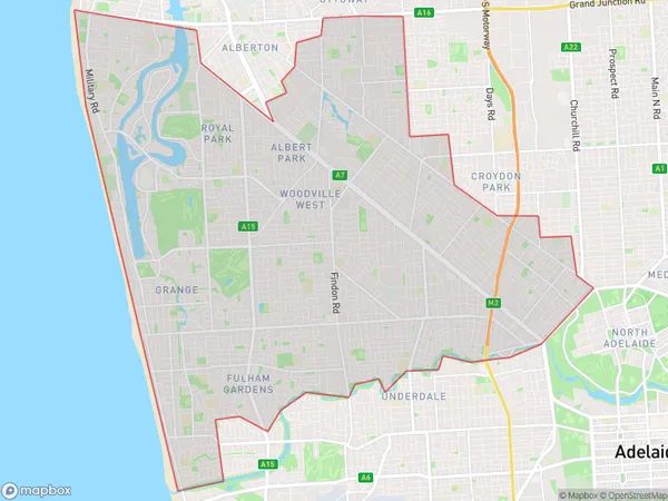
Charles Sturt Region Map

Charles Sturt Postcodes / Zip Codes
Charles Sturt Suburbs
Charles Sturt full address
Charles Sturt, Adelaide West, South Australia, SA, Australia, SaCode: 40401Country
Charles Sturt, Adelaide West, South Australia, SA, Australia, SaCode: 40401
Charles Sturt Suburbs & Region, Charles Sturt Map & Postcodes has 4 areas or regions above, and there are 30 Charles Sturt suburbs below. The sa3code for the Charles Sturt region is 40401. Its latitude and longitude coordinates are -34.893,138.547.
Charles Sturt Suburbs & Localities
1. Bowden
2. Brompton
3. Hindmarsh
4. Welland
5. West Hindmarsh
6. Allenby Gardens
7. Beverley
8. Kilkenny
9. St Clair
10. St Claire
11. Woodville
12. Woodville Park
13. Woodville South
14. Woodville West
15. West Lakes Shore
16. West Lakes
17. Grange
18. Henley Beach
19. Henley Beach South
20. Kirkcaldy
21. Tennyson
22. Findon
23. Seaton
24. Seaton North
25. Fitzroy
26. Ovingham
27. Prospect
28. Prospect East
29. Prospect West
30. Thorngate
