St Clair Area, St Clair Postcode(5011) & Map in St Clair, Adelaide - West, SA
St Clair Area, St Clair Postcode(5011) & Map in St Clair, Adelaide - West, SA, AU, Postcode: 5011
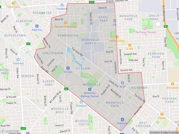
St Clair, Woodville - Cheltenham, Charles Sturt, Adelaide - West, South Australia, Australia, 5011
St Clair Postcode
Area Name
St ClairSt Clair Suburb Area Map (Polygon)
St Clair Introduction
St Clair is a suburb of Adelaide, South Australia, located 7 kilometers west of the city center. It is known for its parks, gardens, and wildlife, including the St Clair National Park and the Adelaide Botanic Garden. The suburb has a population of approximately 12,000 people and is home to a variety of shops, restaurants, and schools.State Name
City or Big Region
District or Regional Area
Suburb Name
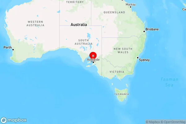
St Clair Region Map
Country
Main Region in AU
R2Coordinates
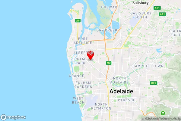
-34.871,138.53 (latitude/longitude)St Clair Area Map (Street)
Longitude
138.5353265Latitude
-34.87089128St Clair Elevation
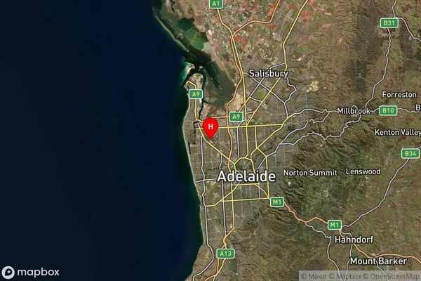
about 7.86 meters height above sea level (Altitude)St Clair Suburb Map (Satellite)
Distances
The distance from St Clair, Adelaide - West, SA to AU Greater Capital CitiesSA1 Code 2011
40401109711SA1 Code 2016
40401109739SA2 Code
404011097SA3 Code
40401SA4 Code
404RA 2011
1RA 2016
1MMM 2015
1MMM 2019
1Charge Zone
S1LGA Region
Charles SturtLGA Code
41060Electorate
Hindmarsh