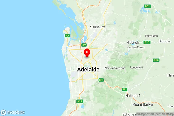
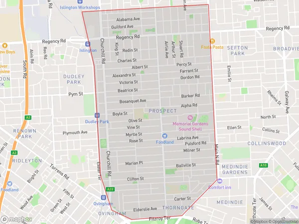
Prospect Suburbs & Region, Prospect Map & Postcodes
Prospect Suburbs & Region, Prospect Map & Postcodes in Prospect, Charles Sturt, Adelaide West, SA, AU
Prospect Region
Region Name
Prospect (SA, AU)Prospect Area
5.48 square kilometers (5.48 ㎢)Postal Codes
5082 (In total, there are 1 postcodes in Prospect.)Prospect Introduction
Prospect is a suburb of Adelaide in the Australian state of South Australia. It is located in the City of Prospect and is part of the Adelaide Hills Council. Prospect was established in 1838 and named after a prospect discovered by Colonel William Light on his expedition to South Australia in 1836. The suburb is known for its beautiful gardens, parks, and tree-lined streets. It is also home to a variety of shops, restaurants, and cafes. Prospect is well-connected to the rest of Adelaide via public transport, with several bus routes and the Prospect railway station located within the suburb. The suburb is also home to a number of prestigious schools, including St Peter's College, Mercedes College, and Immanuel College.Australia State
City or Big Region
Greater Capital City
Greater Adelaide (4GADE)District or Regional Area
Suburb Name
Prospect Region Map

Prospect Postcodes / Zip Codes
Prospect Suburbs
Prospect full address
Prospect, Charles Sturt, Adelaide West, South Australia, SA, Australia, SaCode: 401061021Country
Prospect, Charles Sturt, Adelaide West, South Australia, SA, Australia, SaCode: 401061021
Prospect Suburbs & Region, Prospect Map & Postcodes has 0 areas or regions above, and there are 6 Prospect suburbs below. The sa2code for the Prospect region is 401061021. Its latitude and longitude coordinates are -34.8838,138.594. Prospect area belongs to Australia's greater capital city Greater Adelaide.
Prospect Suburbs & Localities
1. Prospect West
2. Thorngate
3. Fitzroy
4. Ovingham
5. Prospect
6. Prospect East
