Seaford (SA) Suburbs & Region, Seaford (SA) Map & Postcodes
Seaford (SA) Suburbs & Region, Seaford (SA) Map & Postcodes in Seaford (SA), Onkaparinga, Adelaide South, SA, AU
Seaford (SA) Region
Region Name
Seaford (SA) (SA, AU)Postal Codes
from 5167 to 5170 (In total, there are 4 postcodes in Seaford (SA).)Seaford (SA) Introduction
Seaford is a suburb of Adelaide in South Australia. It is located in the City of Charles Sturt and is 10 kilometers southeast of the Adelaide central business district. The suburb is named after Seaford, Delaware, in the United States. It is home to a large number of retirees and is known for its peaceful and quiet atmosphere. Seaford has a variety of shops, cafes, and restaurants, as well as a community center and a hospital. The suburb is also home to several parks and recreational facilities, including the Seaford Beach and the Seaford Golf Course.Australia State
City or Big Region
District or Regional Area
Suburb Name
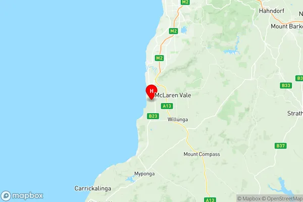
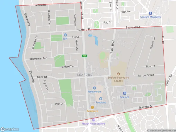
Seaford (SA) Region Map

Seaford (SA) Postcodes / Zip Codes
Seaford (SA) Suburbs
Seaford (SA) full address
Seaford (SA), Onkaparinga, Adelaide South, South Australia, SA, Australia, SaCode: 403041087Country
Seaford (SA), Onkaparinga, Adelaide South, South Australia, SA, Australia, SaCode: 403041087
Seaford (SA) Suburbs & Region, Seaford (SA) Map & Postcodes has 0 areas or regions above, and there are 7 Seaford (SA) suburbs below. The sa2code for the Seaford (SA) region is 403041087. Its latitude and longitude coordinates are -35.2302,138.484.
Seaford (SA) Suburbs & Localities
1. Old Noarlunga
2. Moana
3. Seaford
4. Seaford Meadows
5. Seaford Rise
6. Maslin Beach
7. Port Noarlunga South
