Seaford Area, Seaford Postcode(5169) & Map in Seaford, Adelaide - South, SA
Seaford Area, Seaford Postcode(5169) & Map in Seaford, Adelaide - South, SA, AU, Postcode: 5169
Seaford, Seaford (SA), Onkaparinga, Adelaide - South, South Australia, Australia, 5169
Seaford Postcode
Area Name
SeafordSeaford Suburb Area Map (Polygon)
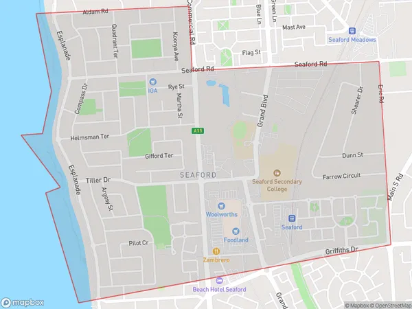
Seaford Introduction
Seaford is a suburb of Adelaide, South Australia, located 30 km south of the city center. It is known for its beaches, parks, and recreational facilities. The suburb has a population of approximately 20,000 people and is a popular destination for tourists and locals alike.State Name
City or Big Region
District or Regional Area
Suburb Name
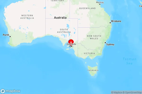
Seaford Region Map
Country
Main Region in AU
R2Coordinates
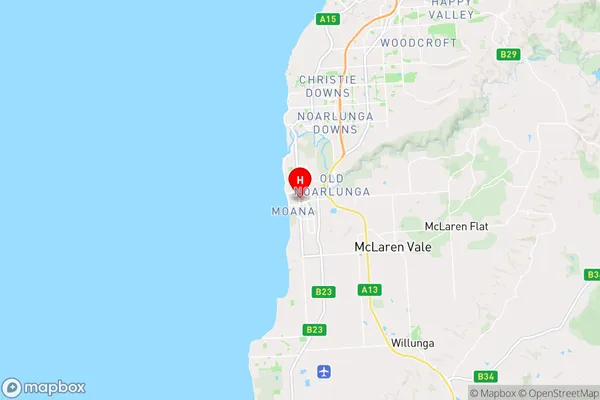
-35.191,138.478 (latitude/longitude)Seaford Area Map (Street)
Longitude
138.477958Latitude
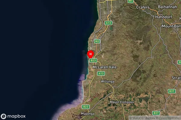
-35.194211Seaford Suburb Map (Satellite)
Distances
The distance from Seaford, Adelaide - South, SA to AU Greater Capital CitiesSA1 Code 2011
40304108710SA1 Code 2016
40304108710SA2 Code
403041087SA3 Code
40304SA4 Code
403RA 2011
1RA 2016
1MMM 2015
1MMM 2019
1Charge Zone
S1LGA Region
OnkaparingaLGA Code
45340Electorate
Kingston