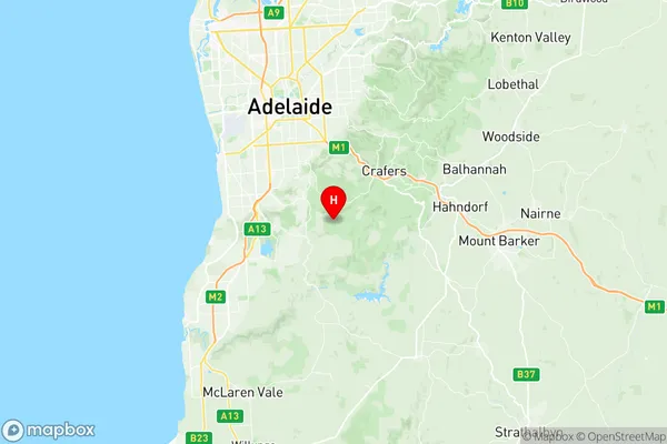
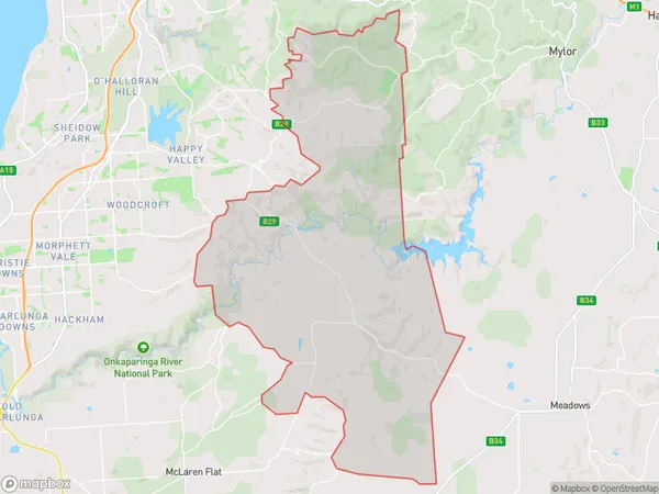
Clarendon Suburbs & Region, Clarendon Map & Postcodes
Clarendon Suburbs & Region, Clarendon Map & Postcodes in Clarendon, Fleurieu Kangaroo Island, South Australia South East, SA, AU
Clarendon Region
Region Name
Clarendon (SA, AU)Clarendon Area
123.37 square kilometers (123.37 ㎢)Postal Codes
5153, 5157, and 5201 (In total, there are 3 postcodes in Clarendon.)Clarendon Introduction
Clarendon is a suburb of Adelaide in South Australia. It is located in the City of Charles Sturt and is 5 kilometers southeast of the Adelaide city center. Clarendon was named after Clarendon House in London, which was the home of the Duke of Clarendon. The suburb has a variety of housing styles, including single-family homes, apartments, and townhouses. It is home to several parks and recreational facilities, including the Clarendon Oval, which is used for cricket and Australian Rules football. Clarendon is also well-connected to the rest of Adelaide, with easy access to the South Road and the Adelaide Hills.Australia State
City or Big Region
Greater Capital City
Greater Adelaide (4GADE)District or Regional Area
Suburb Name
Clarendon Region Map

Clarendon Postcodes / Zip Codes
Clarendon Suburbs
Clarendon full address
Clarendon, Fleurieu Kangaroo Island, South Australia South East, South Australia, SA, Australia, SaCode: 403041075Country
Clarendon, Fleurieu Kangaroo Island, South Australia South East, South Australia, SA, Australia, SaCode: 403041075
Clarendon Suburbs & Region, Clarendon Map & Postcodes has 0 areas or regions above, and there are 7 Clarendon suburbs below. The sa2code for the Clarendon region is 403041075. Its latitude and longitude coordinates are -35.0451,138.654. Clarendon area belongs to Australia's greater capital city Greater Adelaide.
Clarendon Suburbs & Localities
1. Kuitpo
2. Ironbank
3. Coromandel East
4. Dorset Vale
5. Cherry Gardens
6. Kangarilla
7. Clarendon
