Coromandel East Area, Coromandel East Postcode(5157) & Map in Coromandel East, Adelaide - South, SA
Coromandel East Area, Coromandel East Postcode(5157) & Map in Coromandel East, Adelaide - South, SA, AU, Postcode: 5157
Coromandel East, Clarendon, Onkaparinga, Adelaide - South, South Australia, Australia, 5157
Coromandel East Postcode
Area Name
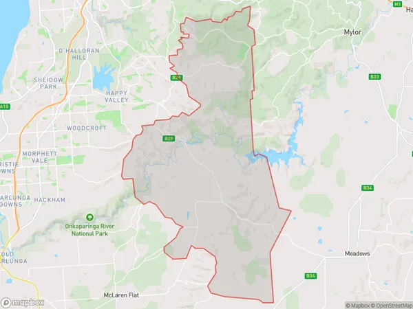
Coromandel EastCoromandel East Suburb Area Map (Polygon)
Coromandel East Introduction
Coromandel East is a suburb of Adelaide, South Australia, located 10 km southeast of the city center. It is known for its coastal scenery, including beaches, cliffs, and coastal walks. The suburb has a population of approximately 10,000 people and is home to a variety of shops, restaurants, and recreational facilities.State Name
City or Big Region
District or Regional Area
Suburb Name
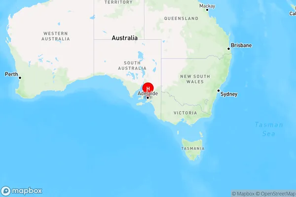
Coromandel East Region Map
Country
Main Region in AU
R2Coordinates
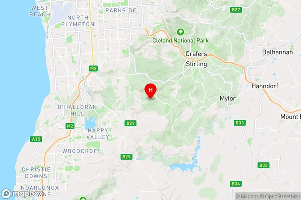
-35.0451047,138.6539268 (latitude/longitude)Coromandel East Area Map (Street)
Longitude
138.633118Latitude
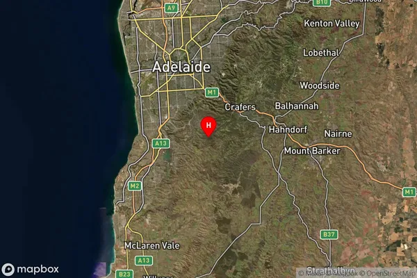
-35.143492Coromandel East Suburb Map (Satellite)
Distances
The distance from Coromandel East, Adelaide - South, SA to AU Greater Capital CitiesSA1 Code 2011
40304107501SA1 Code 2016
40304107501SA2 Code
403041075SA3 Code
40304SA4 Code
403RA 2011
1RA 2016
1MMM 2015
1MMM 2019
1Charge Zone
S1LGA Region
OnkaparingaLGA Code
45340Electorate
Mayo