Christies Beach Suburbs & Region, Christies Beach Map & Postcodes
Christies Beach Suburbs & Region, Christies Beach Map & Postcodes in Christies Beach, Onkaparinga, Adelaide South, SA, AU
Christies Beach Region
Region Name
Christies Beach (SA, AU)Christies Beach Area
7.22 square kilometers (7.22 ㎢)Postal Codes
3962, and from 5165 to 5167 (In total, there are 4 postcodes in Christies Beach.)Christies Beach Introduction
Christies Beach is a suburb of Adelaide in South Australia, located 10 kilometers southeast of the city center. It is known for its beautiful beaches, parks, and recreational facilities, including the Christie Beach Surf Lifesaving Club and the Christie Beach Caravan Park. The suburb has a population of around 2,000 people and is surrounded by natural beauty, including the Mount Lofty Ranges and the Southern Ocean. It is a popular destination for tourists and locals alike, with many opportunities for swimming, surfing, fishing, and hiking.Australia State
City or Big Region
Greater Capital City
Greater Adelaide (4GADE)District or Regional Area
Suburb Name
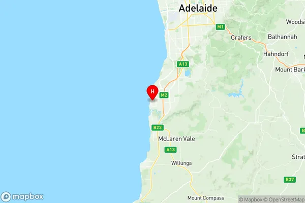
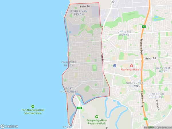
Christies Beach Region Map

Christies Beach Postcodes / Zip Codes
Christies Beach Suburbs
Christies Beach full address
Christies Beach, Onkaparinga, Adelaide South, South Australia, SA, Australia, SaCode: 403041074Country
Christies Beach, Onkaparinga, Adelaide South, South Australia, SA, Australia, SaCode: 403041074
Christies Beach Suburbs & Region, Christies Beach Map & Postcodes has 0 areas or regions above, and there are 6 Christies Beach suburbs below. The sa2code for the Christies Beach region is 403041074. Its latitude and longitude coordinates are -35.135,138.477. Christies Beach area belongs to Australia's greater capital city Greater Adelaide.
Christies Beach Suburbs & Localities
1. Christies
2. Christies Beach North
3. Port Noarlunga
4. Osullivan Beach
5. Osullivan Beach
6. Christies Beach
