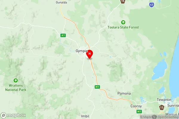
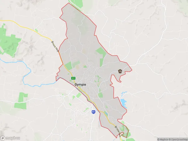
Gympie North Suburbs & Region, Gympie North Map & Postcodes
Gympie North Suburbs & Region, Gympie North Map & Postcodes in Gympie North, Maryborough, Wide Bay, QLD, AU
Gympie North Region
Region Name
Gympie North (QLD, AU)Gympie North Area
42.69 square kilometers (42.69 ㎢)Postal Codes
4570 (In total, there are 1 postcodes in Gympie North.)Gympie North Introduction
Gympie North is a locality in the Wide Bay Burnett Region, Queensland, Australia. It is one of the major gateways to the Sunshine Coast from the Brisbane metropolitan area. The town is located approximately 165 kilometers north of Brisbane and 25 kilometers south of Maryborough. Gympie North has a population of around 4,000 people and is known for its agricultural industry, particularly sugarcane farming. The town has a primary school, a secondary school, a hospital, a supermarket, and a variety of shops and cafes. The area is also popular with tourists, who enjoy the natural beauty of the surrounding region, including the Mary River and the Great Sandy Strait.Australia State
City or Big Region
Greater Capital City
Rest of Qld (3RQLD)District or Regional Area
Suburb Name
Gympie North Region Map

Gympie North Postcodes / Zip Codes
Gympie North Suburbs
Gympie North full address
Gympie North, Maryborough, Wide Bay, Queensland, QLD, Australia, SaCode: 319031512Country
Gympie North, Maryborough, Wide Bay, Queensland, QLD, Australia, SaCode: 319031512
Gympie North Suburbs & Region, Gympie North Map & Postcodes has 0 areas or regions above, and there are 8 Gympie North suburbs below. The sa2code for the Gympie North region is 319031512. Its latitude and longitude coordinates are -26.226,152.696. Gympie North area belongs to Australia's greater capital city Rest of Qld.
Gympie North Suburbs & Localities
1. Araluen
2. Banks Pocket
3. Gympie
4. Glanmire
5. Victory Heights
6. Gympie Dc
7. Monkland
8. Tamaree
