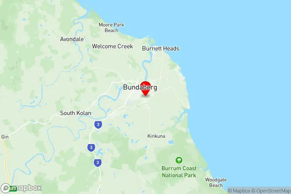
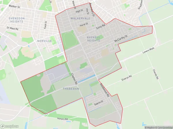
Walkervale Avenell Heights Suburbs & Region, Walkervale Avenell Heights Map & Postcodes
Walkervale Avenell Heights Suburbs & Region, Walkervale Avenell Heights Map & Postcodes in Walkervale Avenell Heights, Burnett, Wide Bay, QLD, AU
Walkervale Avenell Heights Region
Region Name
Walkervale Avenell Heights (QLD, AU)Walkervale Avenell Heights Area
12.44 square kilometers (12.44 ㎢)Postal Codes
4670 (In total, there are 1 postcodes in Walkervale Avenell Heights.)Walkervale Avenell Heights Introduction
Walkervale is a locality in the Bundaberg Region, Queensland, Australia. In the 2011 census, Walkervale had a population of 1,633 people. The locality is named after the Walkervale railway station, which was opened on 1 October 1894. The station was closed on 1 October 1966. The majority of the land in the locality is used for farming, with some residential development. The Walkervale State School is located in the locality, and there is a small shopping centre with a post office and a convenience store. The nearest major town is Bundaberg, which is 10 kilometres away. The locality is surrounded by the Wide Bay-Burnett region, which is known for its agriculture, including sugarcane, cotton, and horticulture.Australia State
City or Big Region
Greater Capital City
Rest of Qld (3RQLD)District or Regional Area
Suburb Name
Walkervale Avenell Heights Region Map

Walkervale Avenell Heights Postcodes / Zip Codes
Walkervale Avenell Heights Suburbs
Walkervale Avenell Heights full address
Walkervale Avenell Heights, Burnett, Wide Bay, Queensland, QLD, Australia, SaCode: 319011502Country
Walkervale Avenell Heights, Burnett, Wide Bay, Queensland, QLD, Australia, SaCode: 319011502
Walkervale Avenell Heights Suburbs & Region, Walkervale Avenell Heights Map & Postcodes has 0 areas or regions above, and there are 4 Walkervale Avenell Heights suburbs below. The sa2code for the Walkervale Avenell Heights region is 319011502. Its latitude and longitude coordinates are -24.8905,152.367. Walkervale Avenell Heights area belongs to Australia's greater capital city Rest of Qld.
Walkervale Avenell Heights Suburbs & Localities
1. Glenforest
2. Avenell Heights
3. Thabeban
4. Walkervale
