Bundaberg Suburbs & Region, Bundaberg Map & Postcodes
Bundaberg Suburbs & Region, Bundaberg Map & Postcodes in Bundaberg, Burnett, Wide Bay, QLD, AU
Bundaberg Region
Region Name
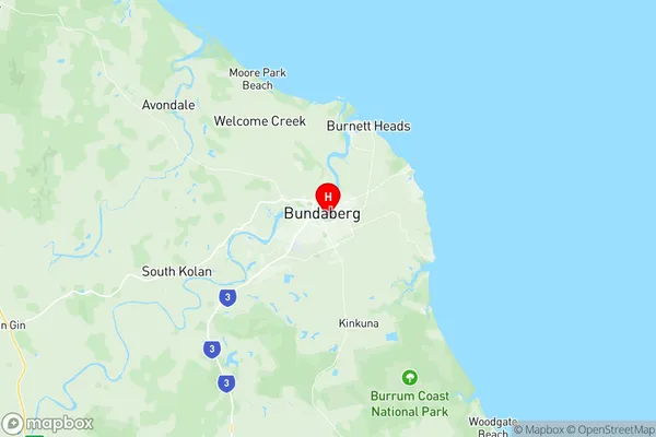
Bundaberg (QLD, AU)Bundaberg Area
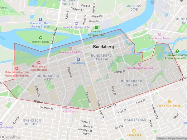
6.12 square kilometers (6.12 ㎢)Bundaberg Suburb Area Map (Polygon)
Bundaberg Introduction
Bundaberg is a city in Queensland, Australia, with a population of around 130,000 people. It is located in the Wide Bay-Burnett region and is known for its agriculture, particularly sugarcane production. The city has a number of historic buildings and landmarks, including the Bundaberg Rum Distillery, the Bundaberg Regional Art Gallery, and the Hinkler House Museum. Bundaberg is also home to a number of parks and recreational facilities, including the Botanic Gardens, the Bundaberg Zoo, and the Kolan Riverwalk. The city is surrounded by beautiful beaches and is a popular tourist destination.Australia State
City or Big Region
Greater Capital City
Rest of Qld (3RQLD)District or Regional Area
Suburb Name
Bundaberg Region Map
Bundaberg Suburbs
Bundaberg full address
Bundaberg, Burnett, Wide Bay, Queensland, QLD, Australia, SaCode: 319011495Country
Bundaberg, Burnett, Wide Bay, Queensland, QLD, Australia, SaCode: 319011495
Bundaberg Suburbs & Region, Bundaberg Map & Postcodes has 0 areas or regions above, and there are 0 Bundaberg suburbs below. The sa2code for the Bundaberg region is 319011495. Its latitude and longitude coordinates are -24.8713,152.359. Bundaberg area belongs to Australia's greater capital city Rest of Qld.