Branyan Kensington Suburbs & Region, Branyan Kensington Map & Postcodes
Branyan Kensington Suburbs & Region, Branyan Kensington Map & Postcodes in Branyan Kensington, Burnett, Wide Bay, QLD, AU
Branyan Kensington Region
Region Name
Branyan Kensington (QLD, AU)Branyan Kensington Area
50.43 square kilometers (50.43 ㎢)Branyan Kensington Introduction
Branyan Kensington is a locality in the Bundaberg Region, Queensland, Australia. It is one of the major gateways to the Wide Bay Burnett region from the Brisbane metropolitan area. The locality is named after the Kensington sugar plantation, which was established in the 1880s. The plantation was one of the largest in the region and employed many local people. Today, the area is primarily a residential suburb with a small commercial center. The Branyan River flows through the locality, providing water for irrigation and recreation. The Bundaberg Regional Council operates a number of parks and recreational facilities in the area, including a golf course and a swimming pool.Australia State
City or Big Region
Greater Capital City
Rest of Qld (3RQLD)District or Regional Area
Suburb Name
Branyan Kensington Region Map

Branyan Kensington Suburbs
Branyan Kensington full address
Branyan Kensington, Burnett, Wide Bay, Queensland, QLD, Australia, SaCode: 319011494Country
Branyan Kensington, Burnett, Wide Bay, Queensland, QLD, Australia, SaCode: 319011494
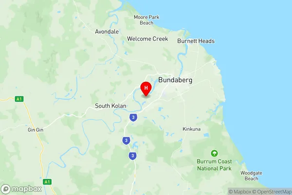
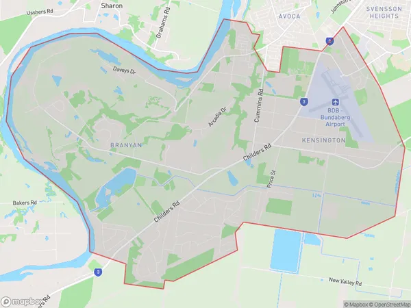
Branyan Kensington Suburbs & Region, Branyan Kensington Map & Postcodes has 0 areas or regions above, and there are 0 Branyan Kensington suburbs below. The sa2code for the Branyan Kensington region is 319011494. Its latitude and longitude coordinates are -24.9103,152.269. Branyan Kensington area belongs to Australia's greater capital city Rest of Qld.
