Ashfield Kepnock Suburbs & Region, Ashfield Kepnock Map & Postcodes
Ashfield Kepnock Suburbs & Region, Ashfield Kepnock Map & Postcodes in Ashfield Kepnock, Burnett, Wide Bay, QLD, AU
Ashfield Kepnock Region
Region Name
Ashfield Kepnock (QLD, AU)Ashfield Kepnock Area
8.07 square kilometers (8.07 ㎢)Postal Codes
4670 (In total, there are 1 postcodes in Ashfield Kepnock.)Ashfield Kepnock Introduction
Ashfield Kepnock is a locality in the Wide Bay Burnett Region, Queensland, Australia. It is one of the major gateways to the Darling Downs from the Queensland coast. The locality is named after the Kepnock River, which flows through it. The town has a population of around 2,000 people and is located about 125 km north-west of Brisbane. It is a popular tourist destination, with many visitors coming to enjoy the natural beauty of the area, including the Kepnock State Forest and the Mount Superbus National Park. The town also has a number of cafes, restaurants, and hotels, as well as a supermarket and a medical center.Australia State
City or Big Region
Greater Capital City
Rest of Qld (3RQLD)District or Regional Area
Suburb Name
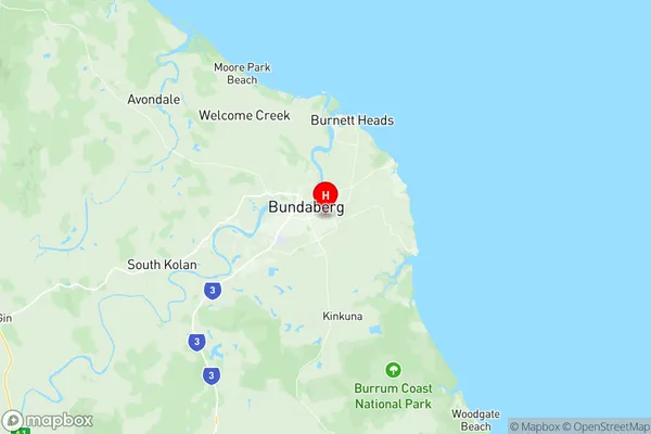
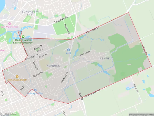
Ashfield Kepnock Region Map

Ashfield Kepnock Postcodes / Zip Codes
Ashfield Kepnock Suburbs
Ashfield Kepnock full address
Ashfield Kepnock, Burnett, Wide Bay, Queensland, QLD, Australia, SaCode: 319011492Country
Ashfield Kepnock, Burnett, Wide Bay, Queensland, QLD, Australia, SaCode: 319011492
Ashfield Kepnock Suburbs & Region, Ashfield Kepnock Map & Postcodes has 0 areas or regions above, and there are 2 Ashfield Kepnock suburbs below. The sa2code for the Ashfield Kepnock region is 319011492. Its latitude and longitude coordinates are -24.8769,152.376. Ashfield Kepnock area belongs to Australia's greater capital city Rest of Qld.
Ashfield Kepnock Suburbs & Localities
1. Ashfield
2. Kepnock
